Welcome to SP!  -   
 
  MbPost.com -- It's SP for Mountain Biking!
Areas & Ranges·Mountains & Rocks·Routes·Images·Articles·Trip Reports·Gear·Other·People·Plans & Partners·What's New·Forum

Access to Molybdenite...

 
[ Sizes: Orig | Med | Small | Thumb ]
Access to Molybdenite...
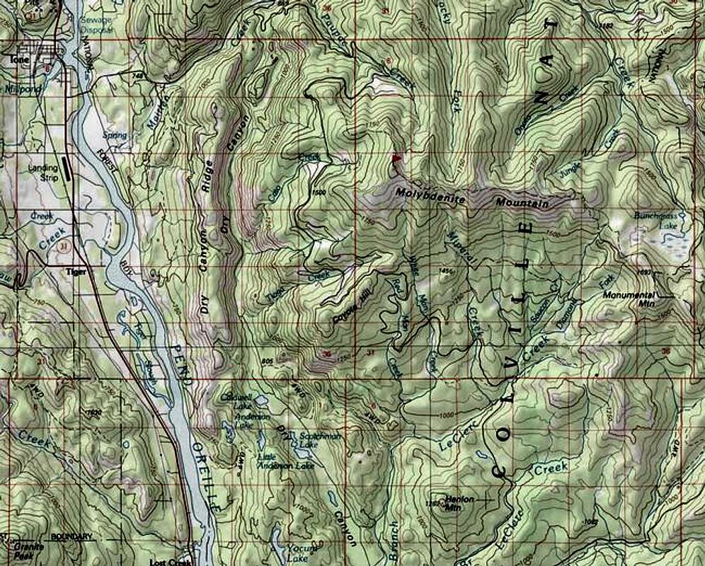
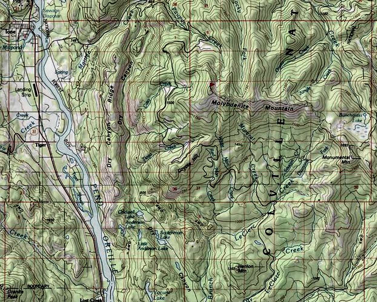
Access to Molybdenite Mountain is easy from Ione, WA (along the Pend Oreille River) or from Le Clerc Road (coming up from the south on this map). The summit is shown with a red flag. Bunchgrass Meadow (south of Bunchgrass Lake) is the site of a National Weather Service automated observation station, and is just east of Molybdenite Mountain. See the "View More Info" on the "Mountain Conditions" category for a hyperlink to the real-time weather observations at 5,000 feet elevation, or the "Links" at the left side of the Main Page.


Comments

No comments posted yet.


Sign in to post!

Don't have an account? Register now.


Rate This Image
Current Score: 86.25

Log In To Vote
Image Data

dludersSubmitted by dluders
on May 21, 2005 2:39 pm

Image ID: 106145
Hits: 927 

Lat/Lon: 48.71010°N / 117.2867°W


"In the beginning the Universe was created. This has made a lot of people very angry and been widely regarded as a bad move."   --Douglas Adams   

© 2006-2012 SummitPost.org. All Rights Reserved.