Adder Mountain East Ridge Route Start
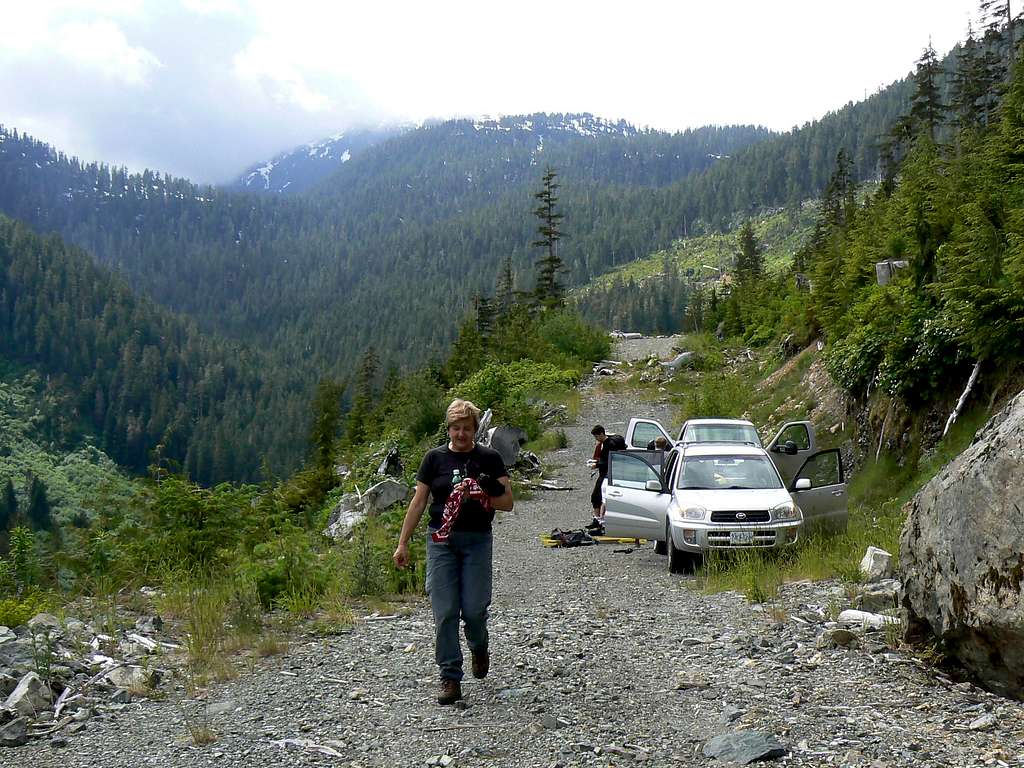
End of the driveable road at 640 metres elevation in the Nahmint River Valley. Walk the remains of the road beyond here. The brief logging slash phase can be seen in the background on the right as can the valley of the stream that leads to the small tarn and the east ridge proper in cloud above.


