

Liba Kopeckova - Apr 6, 2011 10:25 am - Voted 10/10
mapsHi Sarah, where do you get maps like this. Do you have a special program for it?
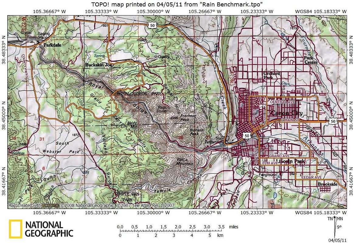
I love National Geographic maps.

Sarah Simon - Apr 6, 2011 11:01 am - Hasn't voted
Re: mapsHi Liba,
I use National Geographic TOPO! for my maps. Once the software is loaded to your machine, you can then purchase maps specific to states of interest to you. The tool is mostly easy to use. It has a few glitches / usability issues, but I've worked in the software industry for years, so I'm a bit over-sensitive to software performance. I order all my new states map packets right off the Nat Geo website.
What I like best about TOPO! maps is how easy it makes trip planning. I can plug in coordinates, estimate mileage and elevation gain, etc.
Let me know if you have any further questions - I'm happy to answer.
Sarah


Comments
Post a Comment