

|
|
Area/Range |
|---|---|
|
|
45.34038°N / 23.53901°E |
|
|
Hiking, Scrambling, Skiing |
|
|
Spring, Summer, Fall, Winter |
|
|
8264 ft / 2519 m |
|
|
Acknowledgements
|
Video by LukZem
Many thanks to Peterbud for his precious HTML-related tips and comments. Don't miss the album by Marco Marinescu. LukZem's best shots animated
|
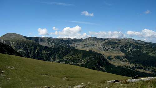
Overview
|
Munţii Parâng (Romanian) Páreng-hegység (Hungarian) |
||||||||||||||||||||||||||||||||||||||||||||||||||||||||||||||||||||||||
The table below lists most of the highest peaks in the Parâng.
 |

Red Tape & Camping
 Campanula rotundifolia Campanula rotundifolia |
 Silene and Aconitum Silene and Aconitum |
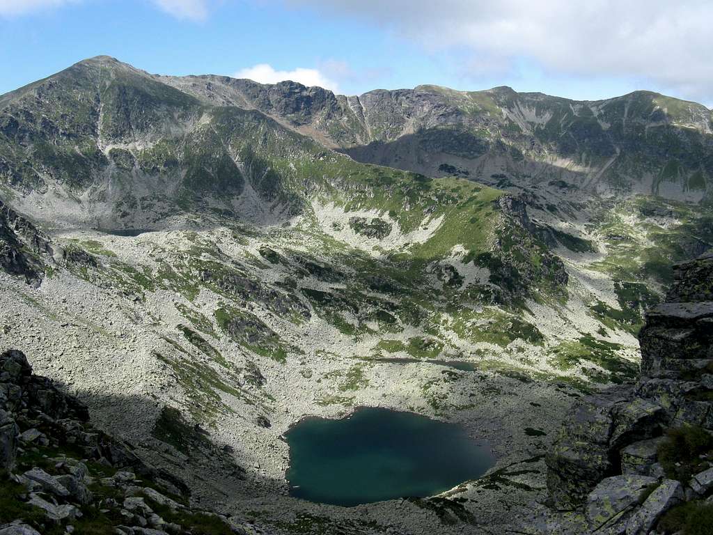
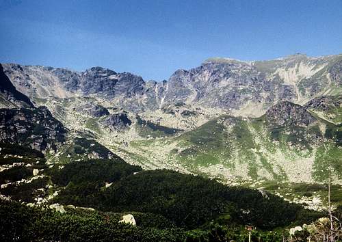
 Lake Zănoaga Lake Zănoaga |
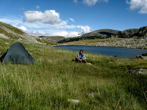 By Lacul Zănoaga Mare
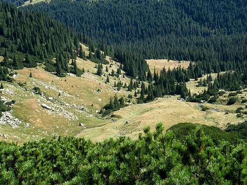
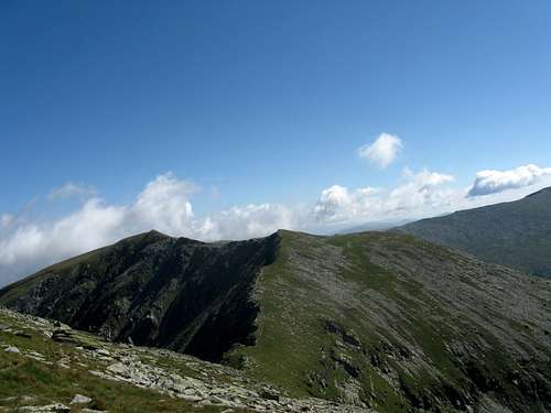
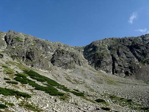
There is practically no red tape in the area depicted here despite there being a couple of nature reserves nearby. More protected areas are likely to be designated. One of the saddest sights can be that of some tourists using dwarf mountain pine to make a fire. Please stick to your gas or petrol stove. The area does not seem to be teeming with wildlife as much as e.g. the Retezat, Piatra Craiului or some of the other chunks of the Parâng mountain group itself. However, all species of the Carpathian fauna can be encountered, including brown bears, vipers occur as well. The classic hiking routes are waymarked but there are a great many unmarked paths, some of which can be spotted on the maps. The best thing about the Parâng Mountains is that their north part – despite lying so close to a big town – is probably the least frequented of Romania's highest ranges. This is a true paradise for hikers, scramblers and bushwhackers.
Maps & Books
Online maps
Paper maps
The Mountains of Romania - guidebook by James Roberts
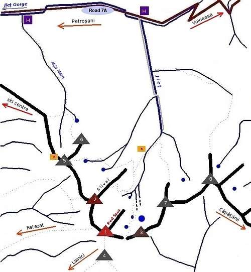
Getting There
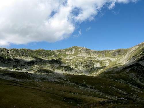
 Jiu Gorge
 Wild E Parâng
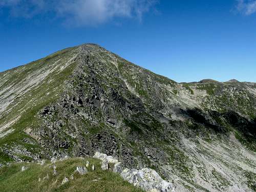
 Parângul Mic, 2073m
 Transalpina being asphalted
 By Lake Mija
 Lake Câlcescu
Public transport between Romania's cities is well developed, quite unlike local bus networks. Hitchhiking is commonplace, the (little) fare is not usually asked for but is supposed to be handed. You can hitch a ride from the outskirts of the town of Petroșani, where you can get by train. Coal has been mined there since the 19th century. There is a stunning contrast between the lights, noise and dirt of an industrial town and its clean, tranquil surroundings – the Parâng in the east, and the Retezat and the Vâlcan mountains in the west. Access from the east is only possible by car. Both the road to Obârsia Lotrului Hut in the north-east and the road to the ski resort of Rânca inside the southeast quarter of the Parâng Mountains are normally passable all year round, except for periods of heavy snowfall. When there is no snow, the Transalpina can take you up to the pass of Urdele at nearly 2,150m.
- Train timetables: German Railways, Romanian Railways
- For details about how to get to the heart of the Parâng from the north and from the west, please study both the big and the little map in the chapter above.
- Driving from Hungary: If you drive from Budapest, the best solution is to head for Szeged, then - after crossing the border - from Arad to Deva via Road E68. When you have arrived in Petroşani, take Road 7A. This is a narrow asphalt road - usually impassable in winter - which runs west to east (follow the signs for Voineasa) across the Parâng mountain group, up to Road E81 Sibiu-Rimnicu Vâlcea. After leaving Petroşani the road leads up the gorge of the Jieţ River for nearly 6 km, another 6 km and you're at Mija-Jieţ Hut, again 6 km and you'll get to Groapa Seaca Hut, 18 km away from Petroşani (see Accommodation chapter below). Another option is to drive via Gen. V. Milea Street to the upper station of the chair lift (Parâng Telescaun), where there's a ski centre and the Hotel Rusu. Practical tips to help you drive across Romania can be found on the Retezat Mountains page by peterbud
Weather
|
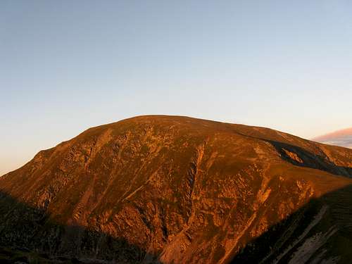
Forecast for the Parâng Mountains on freemeteo.ro 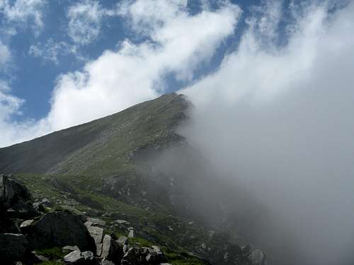 Forecast for Petroşani, at about 550m on accuweather.com 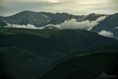 Parâng from N - photo by Tomek Lodowy Parâng from N - photo by Tomek Lodowy |
Accommodation
 Cârja Refuge
 Parâng from SE
- Refugiul Agatat, owned by a student club - no key needed – located on a rock by the Roşiile brook.
- Refugiul Cârja, on the main ridge, west of Cârja Peak - rudimentary, helpul in bad weather
- Cabana Mija–Jiet (hut/guesthouse) 12 km east of Petroşani, on Road 7A, at 1,100m; 26 beds, restaurant
- Cabana Groapa Seaca (hut) 18 km east of Petroşani, on Road 7A, at 1,208m; 45 beds, 5bathrooms, hot water
- Obârsia Lotrului Hut on Road 7A, at the NE corner of the Parâng Mountains; open all year
- Hotel Rusu, at the upper station of the Petroşani chair lift, 1,168m
- In Petroşani
When To Go & Hazards
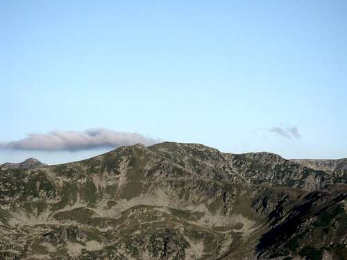
 Parâng afar (skyline, left) from the Retezat
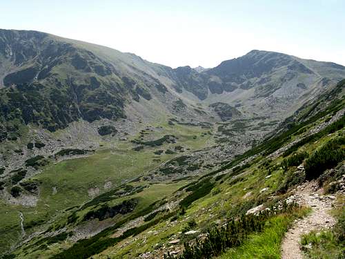
 Setea Mică in August
 January in Cândrel Mts, Parâng mountain group
 Parângul Mare, August
Late spring to early autumn is the usual hiking time. The Parâng Mountains are notorious for high avalanche risk. In case you needed to call the rescue service (Salvamont), the phone number is: 0 725 826 668
Potential hazards in the summer season:
- Flock-guarding dogs, especially in the less frequented areas (although the EU regulations have been pushing the shepherds out of work recently)
- Bears, especially in the wilder, eastern chunk (they are not a big problem as in the Harghita or Bucegi ranges): try to put up your tent above timberline, don't keep food inside, check out the following link to find out how to behave if you meet a bear.
- Vipers (a bite shouldn't kill you unless you're allergic but serum will be necessary)
Select External Links
- magiamuntelui.blogspot.com - fantastic, detailed photo TRs (please scroll down)
- Huge collections of photos plus some info (most in Romanian): alpinet.org and carpati.org
- Pix from a skiing trip plus a TR in Polish
- Through the Parâng & Căpăţînii: Photo TR
- Through the Parâng & Căpăţînii: TR in Czech plus Photos
 Hey! It seems like we've spent over 30 years working on this page. :)
 August 2010 August 2010 |
 August 1978 August 1978 |
dorucalinciobanu - May 19, 2014 1:05 pm - Voted 10/10
WeatherBest weather forecast for Parâng mts.: http://freemeteo.ro/weather/muntii-paring/7-days/list/?gid=671333&language=english&country=romania
yatsek - May 19, 2014 1:25 pm - Hasn't voted
Re: WeatherThanks!