Toggle navigation
Mountains
Routes
Images
Trip Reports
Forum
What's New
People
Areas & Ranges
Articles
Trailheads
Canyons
Huts & Campgrounds
Albums
Logistical Centers
Fact Sheets
Lists
Custom Objects
Gear
Plans & Partners
WELCOME TO SUMMITPOST
SIGN IN
REGISTER
Western Tatras (Západné Tatry / Tatry Zachodnie)
Additional Parents
Image
At Karczmisko
View High-Resolution Image
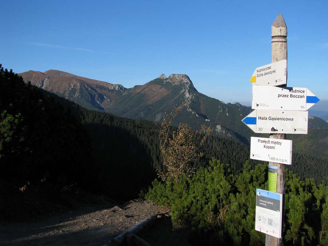
At Karczmisko
Przełęcz Między Kopami
aka
Karczmisko
(1499m) is the junction of the two trails connecting the town of
Zakopane
to Hala Gąsienicowa and the High Tatras. The view is of
Giewont
(centre) and
Czerwone Wierchy
(left).
« PREV
NEXT »
yatsek
on
Oct 16, 2013 6:52 am
Comments & voting
Other parents
Lat/Lon:
49.25483°N / 20.00325°E
Image Type(s):
Hiking
Image ID:
872232
1482 Hits
76.66
% Score
7
Votes
Log in to vote
Comments
No comments posted yet.
to post!
Don't have an account?
Western Tatras (Západné Tatry / Tatry Zachodnie)
(Area/Range)
« PREV
Viewing
#81 of 336
GALLERY
NEXT »
yatsek's Image Gallery
« PREV
Viewing
#639 of 1265
GALLERY
NEXT »
Świnica to Kozi Wierch
(Route)
Loading....
×
You need to login in order to vote!
User Name
Password
Remember me
Forgot your password?
Log me out when I close my browser.
Keep me logged in all the time.
sign in as a user
Don't have an account?
Register now for FREE
Rating available
Suggested routes for you
People who climb the same things as you
Comments Available
Create Albums
Register Here


