


FlatheadNative - Apr 29, 2010 2:20 am - Voted 10/10
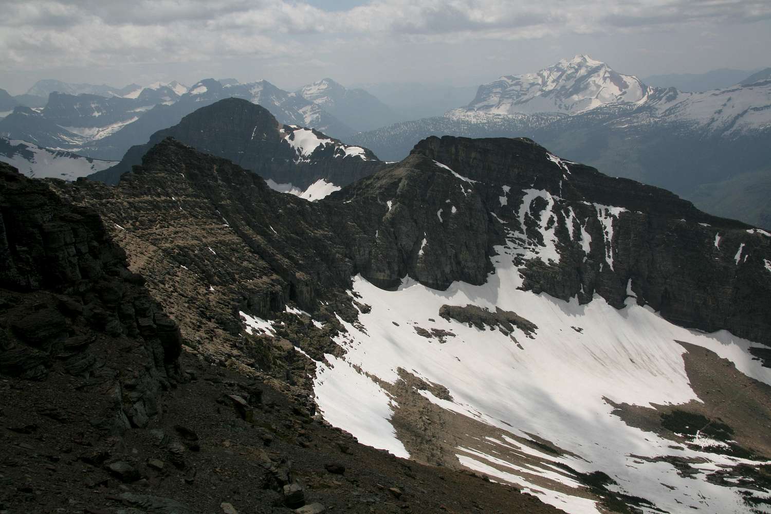
Amazingthis photos shows practically all of the peaks around Logan Pass as well as Gunsight, Jackson, Brown and Heavens Peak.

Bob Sihler - Apr 29, 2010 1:53 pm - Hasn't voted
Re: AmazingIt's funny-- in posting this picture and doing the caption, I focused so much on its pertinence to route information that I paid little attention to the background beyond the obviousness of Heavens Peak! I'll have to go back and add some peak ID's.
FlatheadNative - Apr 29, 2010 2:25 pm - Voted 10/10
Re: AmazingYes you need to get it together! LOL! I do the same thing. I am planning on doing Ahern and Iceberg this summer. It looks like typical Glacier climbing to me. That goat trail from Swiftcurrent looks sweet! I may take that one on the way to Granite Park.
It has been snowing here in the valley so I imagine Glacier is getting dumped on. So far almost an inch of moisture in the last 24 hours and it is going to rain for the next week or so. This will help hold the fires off.


Comments
Post a Comment