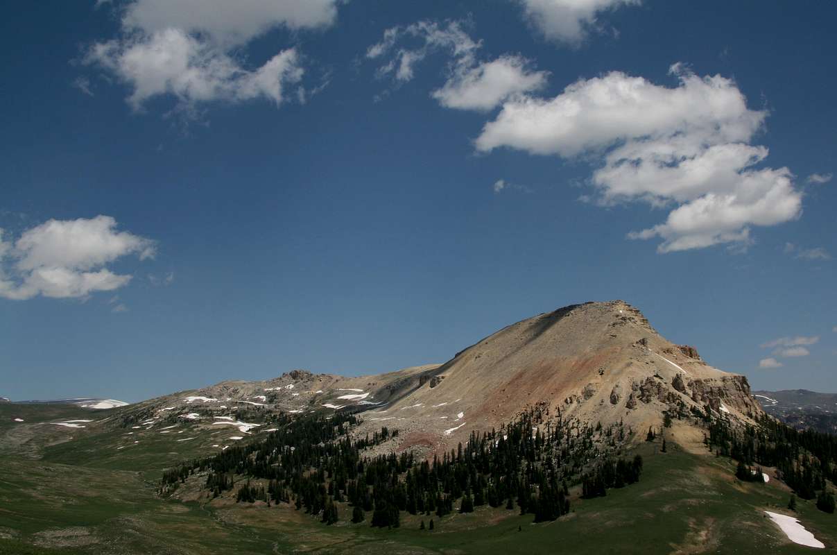
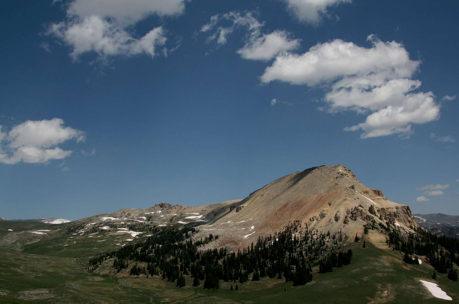
Seen from Clay Butte.
It seems like a quick walk over, right? Actually, you would have to drop 300-500' into that drainage then head up 900-1100' of steep, loose talus and dirt. The better way is to hike a horseshoe-shaped ridge system that starts at Clay Butte and leads around and atop the ridges shown left of and behind the peak. It's about 3.5 miles one-way, but it is mostly easy hiking, all above timberline, with sweeping views every step of the way.
Beartooth Mountains, Wyoming-- July 2008


