
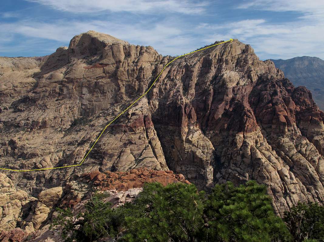
Bridge Point Standard Route-- Diagram
The route from above Pine Creek Canyon to the summit as seen from Juniper Peak.
The diagram here is approximate and meant to give a general sense of the location and direction of the route. It is not meant to show every exact step.
For better detail, click on the picture and then click on it again.
Red Rock Canyon National Conserbation Area, Nevada-- July 2013


