Circlet Lake to Castle Crag, Mt Frink, and Mt Albert Edward Loop 2013
Mt Albert Edward is the 6th highest mountain on Vancouver Island. This trip was my second time summiting this mountain and I was looking to make it a bit more of a challenge. So why not throw two other mountains in the mix? We started this hike on Sept 7th 2013 and made it a two-nighter.
The night before our adventure we stayed with some pals in Courtenay and had maaaybe a few too many drinks, thus, our start the next day was in the early afternoon. We parked at the Paradise Meadows lot on the boarder of the Strathcona Park past the Mt Washington Ski resort. It is a very popular starting point for many different hikes and begins as a wheelchair accessible gravel trail. After about 45mins to an hour the trail gets a little more rugged, but very well maintained, and the day trippers and tourists start to disappear. The trail is mostly flat with the occasional incline/decline and weaves through some beautiful meadows, hence the name, Paradise Meadows.
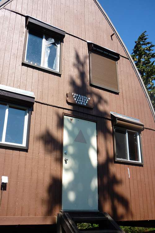
At around the half way point to Circlet Lake there is a cool rangers cabin. We arrived here at 1500 and figured this would be a great place to stop for a quick snack.
![Unnamed Image]() Ranger Cabin
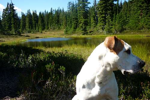
Ranger Cabin ![Unnamed Image]() Mr Sparks chillin at the cabin
Mr Sparks chillin at the cabin At 1645 we arrived at Circlet lake and set up camp. This spot is pretty popular and had plenty of other hikers. There are some great tent pads that have views of the lake and mountains above. That evening we hung around the Circlet Lake and explored Amphitheatre Lake, which is just a short distance away. Nothing spectacular, but worth exploring since we had the time.
The next morning we slept in until about 0900, ate breakfast, and saddled up our day packs with water and snacks. We left camp just before 1000 and headed to Moat Lake. What place! There is a small island in the middle with cabins still used by decedents of Stuart Wood. We even noticed a small motor boat beetling around across the water and we made our way along the East side of the lake. From here we could see exactly the route we would take up around Castle Crag and along the ridge to Mt Albert Edward.
The trail here is fairly well booted and goes up and around the East side of Castle Crag. Weirdly enough we noticed a single tire track along the exact route we were taking... I am still stumped as to what is was... There is no way it was a bike, since it was only one tire mark and not two... a crazy unicycle?? Puzzling. The trail climbs nice and steady as it wraps around to the South side of the mountain.
![Unnamed Image]()
On the way up Castle Crag
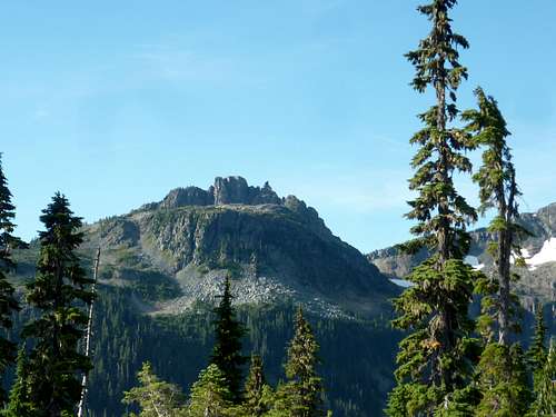
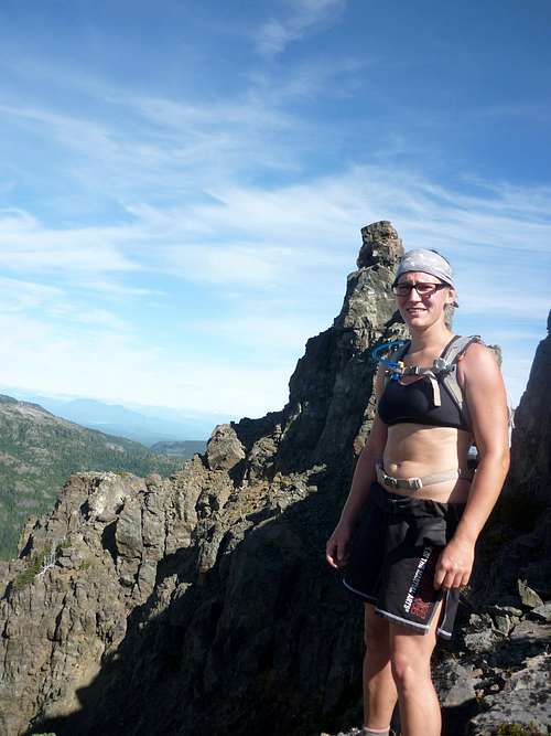
At about 1300 we reached the summit of Castle Crag at 1765m elevation and ran into a group of hikers that had come up from the South just as a day trip. From the summit you can really tell why this mountain has "castle" in the title since it has some neat spires.
![Unnamed Image]()
Castle Crag from Moat Lake
![Unnamed Image]()
A unique spire of castle crag
![Unnamed Image]()
Summit of Castle Crag with Mt Washington in the background
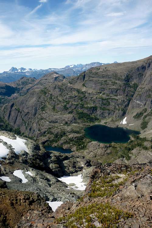
After about 30 mins or so we continued on to Mt Frink. Here we lost a bit of elevation and followed a saddle between the two mountains until we were headed up again. At 1420 we arrived at the top of Mt Frink. From here there are some great views of Hope and Charity Lakes and we could see the ridge to follow on to Albert Edward. We only hung out here for 15 or 20 mins and then carried on.
![Unnamed Image]()
Atop Mt Frink
![Unnamed Image]()
Hope and Charity Lake
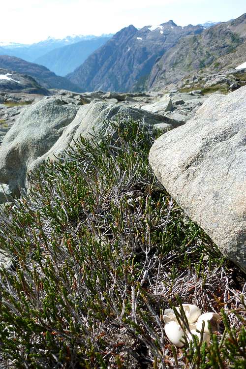
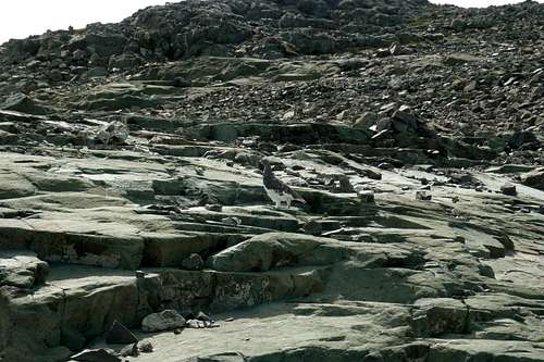
The rest of the way to Mt Albert Edward is pretty straight forward. You can see your end goal the whole way. There are also many cairns to keep you on the right path. After Frink we did lose a bit of elevation, which we later had to make up, but it was a slow and easy incline to Albert Edward. The coolest park of this stage in our hike was the white tailed ptarmigan and nest we saw along the way.
Hidden nest we literally stumbled upon
![Unnamed Image]()
The illusive white-tailed ptarmigan!
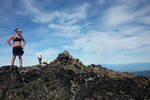
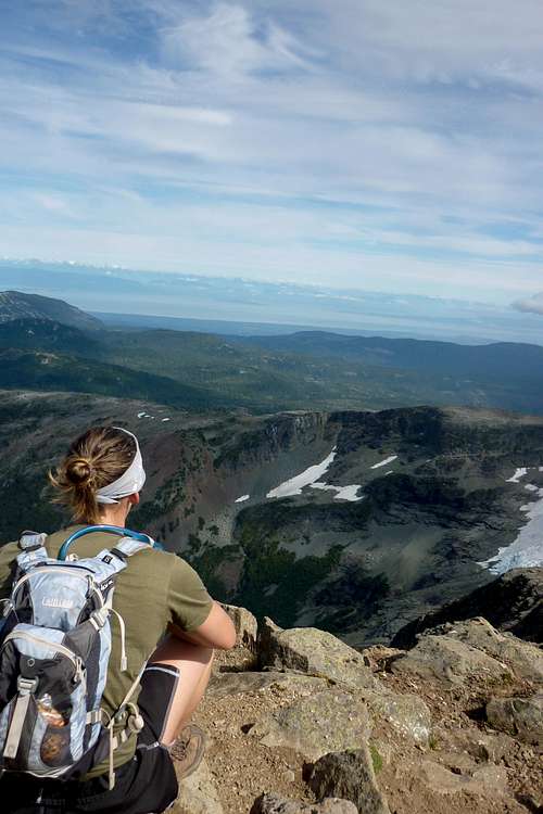
At 1545 we arrived at the summit of Albert Edward. We had cell service! Kind of funny having cell service in the middle of nowhere, but being up higher then anything makes it easy to pick up a signal. Always good to let family know you have made it to your destination safely. We had another snack and then headed back to our camp.
![Unnamed Image]()
Summit of Mt Albert Edward
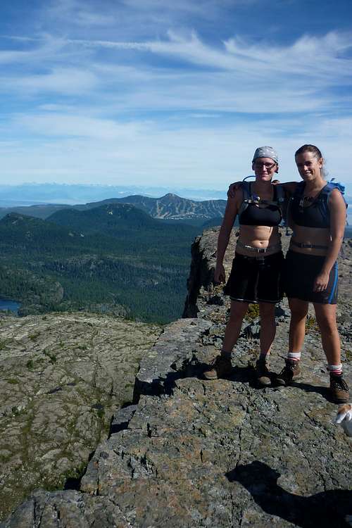
We arrived back at Circlet at around 1800. By this point everyone that was there the night before had left. We figured we might have the place all to ourselves; however, at about 1900 a couple of ladies from Campbell River showed up. The older of the two was hiking Albert Edward in memory of her son who had passed away, but was an outdoor enthusiast.
The next morning we said our goodbyes to the beautiful scenery and powered back to civilization. The next time I do Albert Edward I would like to descend down via the Augerpoint trail. I'll keep that on my to do list.
Comments
No comments posted yet.