Toggle navigation
Mountains
Routes
Images
Trip Reports
Forum
What's New
People
Areas & Ranges
Articles
Trailheads
Canyons
Huts & Campgrounds
Albums
Logistical Centers
Fact Sheets
Lists
Custom Objects
Gear
Plans & Partners
WELCOME TO SUMMITPOST
SIGN IN
REGISTER
"Adang" Route (V-)
Additional Parents
Image
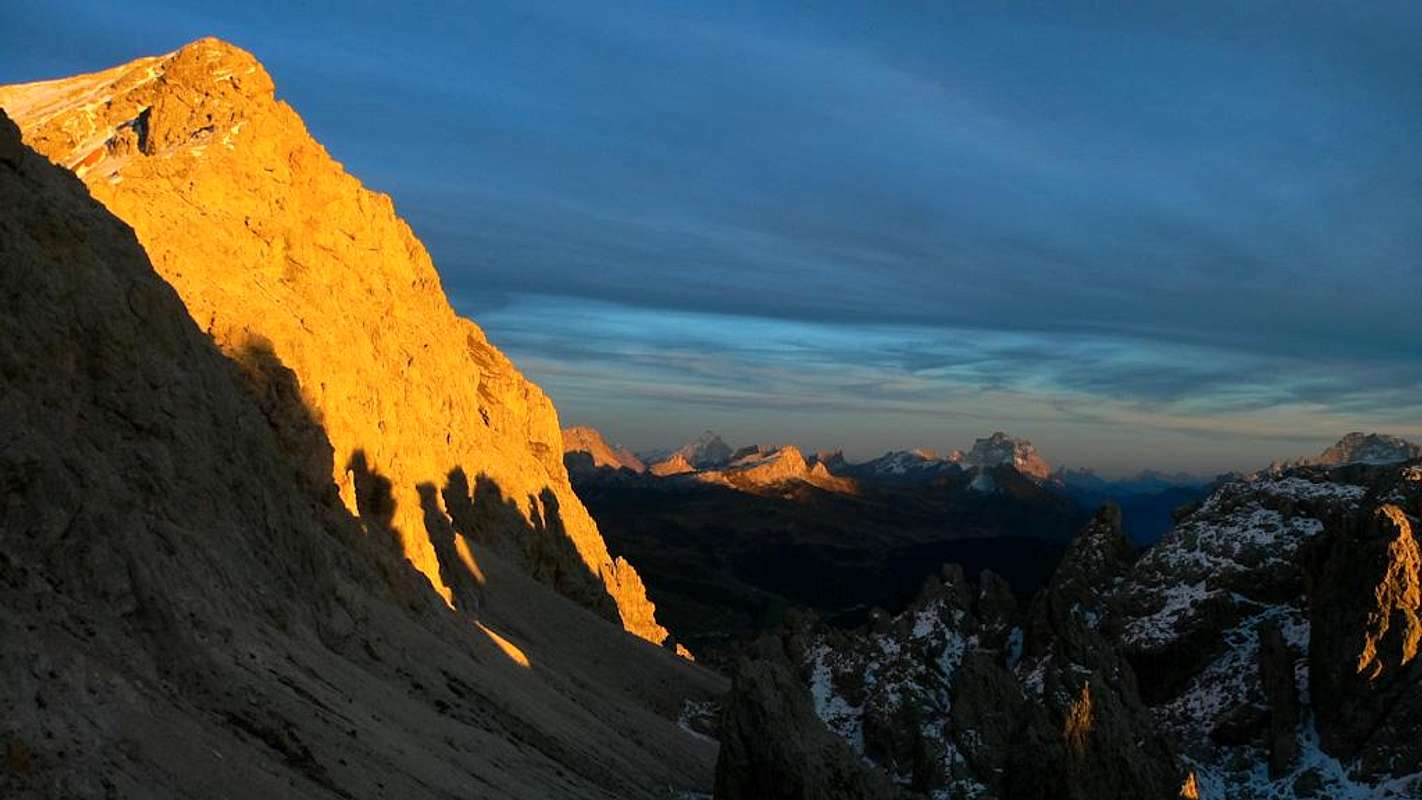
Cliffs at sunset
View High-Resolution Image
Cliffs at sunset
The cliffs of Col Toronn from the Pass of Cir.
« PREV
NEXT »
mvs
on
Nov 4, 2011 6:43 am
Comments & voting
Other parents
Image ID:
757832
3606 Hits
80.49
% Score
12
Votes
Log in to vote
Comments
No comments posted yet.
to post!
Don't have an account?
"Adang" Route (V-)
(Route)
« PREV
Viewing
#2 of 10
GALLERY
NEXT »
mvs's Image Gallery
« PREV
Viewing
#184 of 1138
GALLERY
NEXT »
Sass da Ciampac
(Mountain/Rock)
Loading....
×
You need to login in order to vote!
User Name
Password
Remember me
Forgot your password?
Log me out when I close my browser.
Keep me logged in all the time.
sign in as a user
Don't have an account?
Register now for FREE
Rating available
Suggested routes for you
People who climb the same things as you
Comments Available
Create Albums
Register Here


