Toggle navigation
Mountains
Routes
Images
Trip Reports
Forum
What's New
People
Areas & Ranges
Articles
Trailheads
Canyons
Huts & Campgrounds
Albums
Logistical Centers
Fact Sheets
Lists
Custom Objects
Gear
Plans & Partners
WELCOME TO SUMMITPOST
SIGN IN
REGISTER
Maurilius H. Mayr Weg
Additional Parents
Image
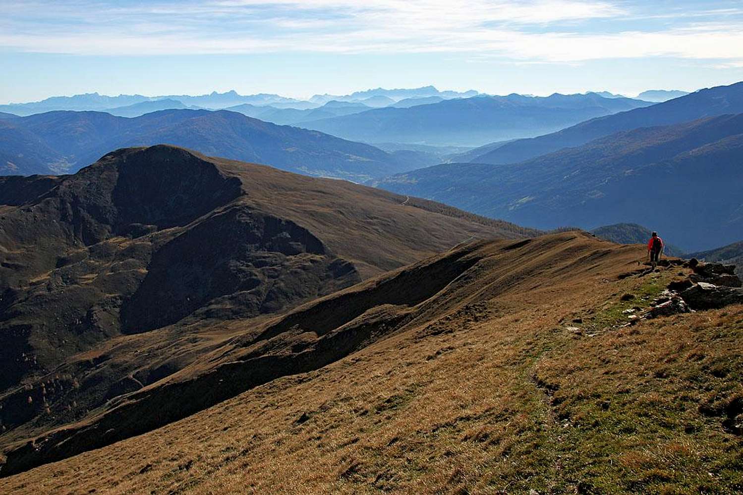
Descending from Poisnig
View High-Resolution Image
Descending from Poisnig
We are descending by the S ridge of Poisnig, towards Torscharte. Then we shall cross the W slopes of Stubeck. October 19th, 2014.
« PREV
NEXT »
Vid Pogachnik
on
Oct 24, 2014 2:25 pm
Comments & voting
Other parents
Lat/Lon:
47.01183°N / 13.52918°E
Image Type(s):
Hiking
Image ID:
919093
1701 Hits
73.06
% Score
3
Votes
Log in to vote
Comments
No comments posted yet.
to post!
Don't have an account?
Maurilius H. Mayr Weg
(Route)
« PREV
Viewing
#8 of 11
GALLERY
NEXT »
Vid Pogachnik's Image Gallery
« PREV
Viewing
#7148 of 9272
GALLERY
NEXT »
Wandspitze
(Mountain/Rock)
Loading....
Stubeck
(Mountain/Rock)
Loading....
×
You need to login in order to vote!
User Name
Password
Remember me
Forgot your password?
Log me out when I close my browser.
Keep me logged in all the time.
sign in as a user
Don't have an account?
Register now for FREE
Rating available
Suggested routes for you
People who climb the same things as you
Comments Available
Create Albums
Register Here


