Toggle navigation
Mountains
Routes
Images
Trip Reports
Forum
What's New
People
Areas & Ranges
Articles
Trailheads
Canyons
Huts & Campgrounds
Albums
Logistical Centers
Fact Sheets
Lists
Custom Objects
Gear
Plans & Partners
WELCOME TO SUMMITPOST
SIGN IN
REGISTER
Wahpenayo Peak
Additional Parents
Image
Descending the way-trail...
View High-Resolution Image
Descending the way-trail...
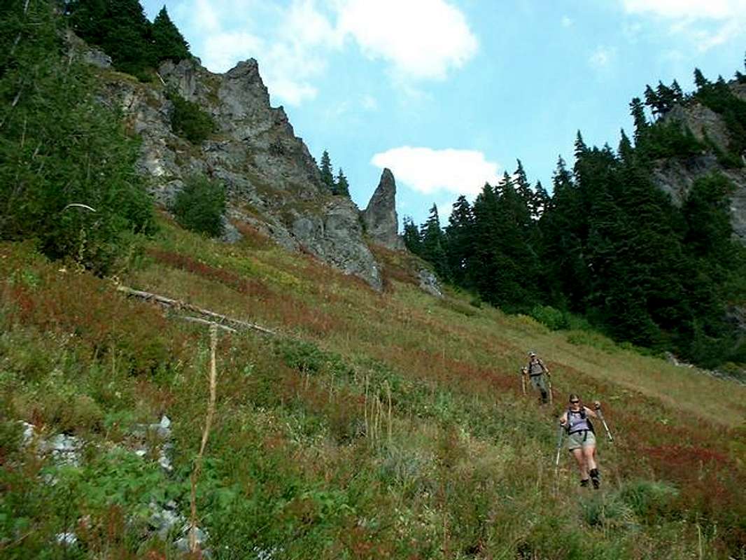
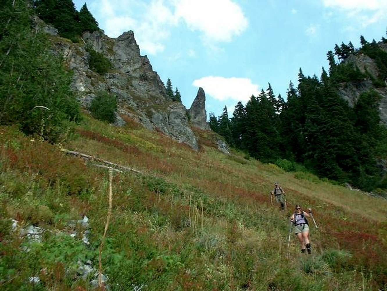
Descending the way-trail through the meadow from the Chutla-Wahpenayo saddle (just below-right the rock pinnacle center) - 9/6/03
« PREV
NEXT »
mandrake
on
Jun 20, 2005 6:24 pm
Comments & voting
Other parents
Lat/Lon:
46.74700°N / 121.766°W
Image ID:
111065
2893 Hits
72.08
% Score
2
Votes
Log in to vote
Comments
No comments posted yet.
to post!
Don't have an account?
Wahpenayo Peak
(Mountain/Rock)
« PREV
Viewing
#10 of 14
GALLERY
NEXT »
mandrake's Image Gallery
« PREV
Viewing
#109 of 153
GALLERY
NEXT »
×
You need to login in order to vote!
User Name
Password
Remember me
Forgot your password?
Log me out when I close my browser.
Keep me logged in all the time.
sign in as a user
Don't have an account?
Register now for FREE
Rating available
Suggested routes for you
People who climb the same things as you
Comments Available
Create Albums
Register Here


