Toggle navigation
Mountains
Routes
Images
Trip Reports
Forum
What's New
People
Areas & Ranges
Articles
Trailheads
Canyons
Huts & Campgrounds
Albums
Logistical Centers
Fact Sheets
Lists
Custom Objects
Gear
Plans & Partners
WELCOME TO SUMMITPOST
SIGN IN
REGISTER
Honey, where's the map?
Additional Parents
Image
Does this picture tell, how...
View High-Resolution Image
Does this picture tell, how...
Does this picture tell, how steep the scree couloir actually is? Shot from Forcella Vallaccia with the Sas Lonch Group in the background. July 13th 2005
« PREV
NEXT »
Gangolf Haub
on
Aug 10, 2005 6:09 pm
Comments & voting
Other parents
Lat/Lon:
46.40500°N / 11.70930°E
Image ID:
119583
3494 Hits
75.3
% Score
6
Votes
Log in to vote
Comments
Post a Comment
Viewing: 1-1 of 1
6000ultralongsight
-
Jul 4, 2008 2:59 pm - Voted 10/10
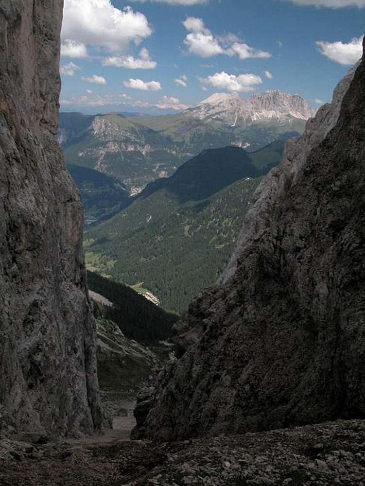
Steep for beginners
See a previous posting, I didn't fancy it, and chose the easier route back to Vigo
Viewing: 1-1 of 1
to post!
Don't have an account?
Honey, where's the map?
(Trip Report)
You are at
the First
Image
Viewing
#1 of 1
GALLERY
You are at
the Last
Image
Gangolf Haub's Image Gallery
« PREV
Viewing
#2539 of 13940
GALLERY
NEXT »
Vallaccia
(Area/Range)
Loading....
Sas da le Undesc via Biv. Zeni (inside)
(Route)
Loading....
×
You need to login in order to vote!
User Name
Password
Remember me
Forgot your password?
Log me out when I close my browser.
Keep me logged in all the time.
sign in as a user
Don't have an account?
Register now for FREE
Rating available
Suggested routes for you
People who climb the same things as you
Comments Available
Create Albums
Register Here
Comments
Post a Comment