
Viewing: 1-1 of 1

rmac10 - Aug 1, 2008 10:23 pm - Hasn't voted
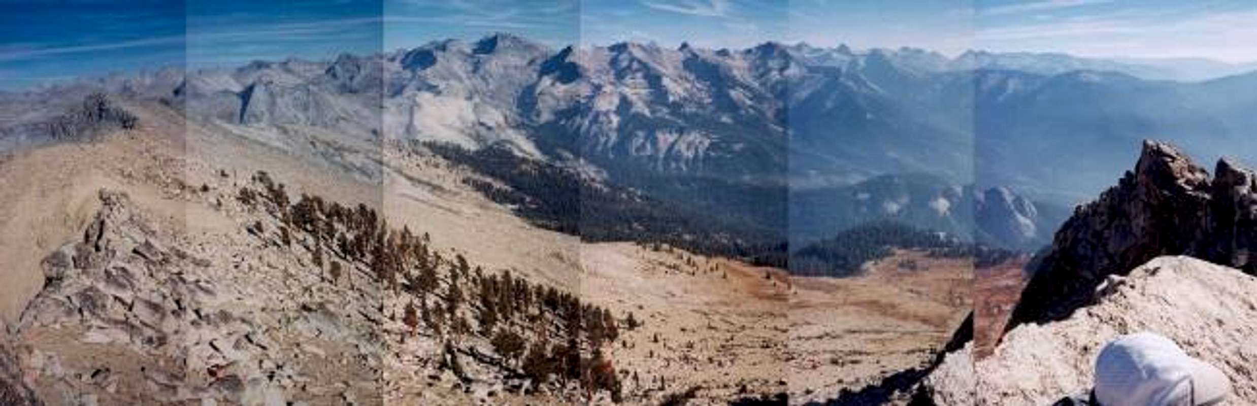
PanoramaTerrific shot; decent transparency. Nice view of Kaweah Queen and Black Kaweah. Also to left: Centennial, Milestone, Midway, Table, Thunder--all north of Colby Pass.
Viewing: 1-1 of 1


Comments
Post a Comment