-
 7252 Hits
-
 72.62% Score
-
 3 Votes
|
|
Mountain/Rock |
|---|---|
|
|
58.56770°N / 134.65421°W |
|
|
Juneau |
|
|
Mountaineering |
|
|
Summer |
|
|
6015 ft / 1833 m |
|
|
Overview
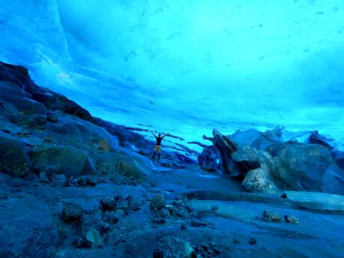
Earnest Gruening (pronounced GREEN-ing) is a challenging and rewarding climb. This mountain packs a lot. Steep lose rock, ice, thick brush, scrambling, and a bike-able approach. The upper slopes and the trail near the glacier are steep and bare, and heavy avalanche danger can persist on the mountain well into Spring. Doing this mountain in really early spring or late summer is my best recommendation.
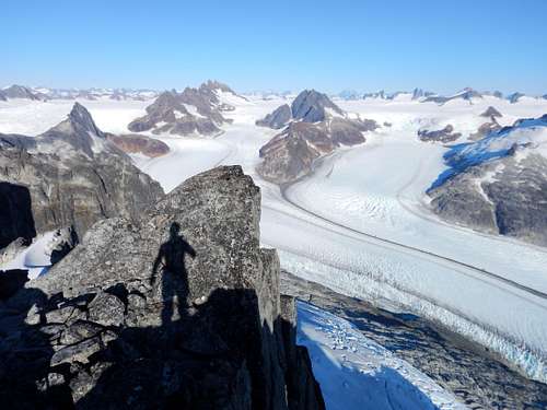
Earnest Gruening provides a stunning view of the Juneau Icefield and a dramatic transition into the glaciated alpine environment from the coastal forests of lower elevation. The whole Herbert Glacier is visible below and barely visible is Devils Paw and the Mendenhall Towers.

Getting There
To access the trail to Earnest Gruening from downtown Juneau, Drive out Glacier Hwy until Mi. 28. The Herbert Glacier Trail is 4.9 miles long and ends at Herbert Glacier.

Route
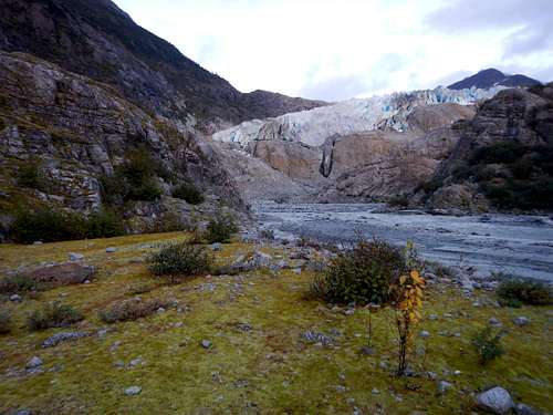
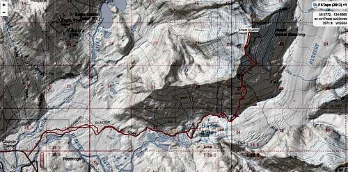
The Eagle-Herbert Ridge Route starts from the well known Herbert Glacier Trail. Follow the trail (4.3 miles if you bike) 4.9 miles to the end of the maintained trail. From here follow the user trail on climbers left of the glacier to the glacier. From here the trail goes straight uphill until treeline is broken. Cross below the small hanging glacier on climbers right, then climb all the way to the top of the ridge. Follow the ridge till it ends in a cliff. Downclimb some easy 5.2 through a crack on the right as you face the summit. Then climb up a 5.6 wall to the top of the ridge. From here continue down the ridge until forced onto the glacier. Avoid the ice wall below you by hiking directly away from the summit and going down on more suitable incline, then strait along the top of the hanging glacier to the North side of the summit block. Avoid more crevasses by continuing North and then moving uphill to the ridge. Continue south on ridge until rock in encountered. An easy 5.3 scramble to the summit with exposure and many loose rocks.
See the route page for more details and for the map and Garmin .gpx files.

Red Tape
There is no red tape here, so please use LNT principles.
When to Climb
Late summer when the most rock is exposed is probably the best time of year. Early Spring ascents would be reasonable as well, though there will be avalanche danger on the highest slopes.
June can be a really nice time to climb since it’s the sunniest summer month, though there tends to be more snow around. This might be a miserable and dangerous slog this time of year with wet slides and soft snow bridges.
Winters are much milder here than in interior Alaska

Camping
Backcountry Camping
Permits are not needed to camp in the Tongass National Forest. Camping Spots can be found on the ridges in the alpine areas.
External Links

