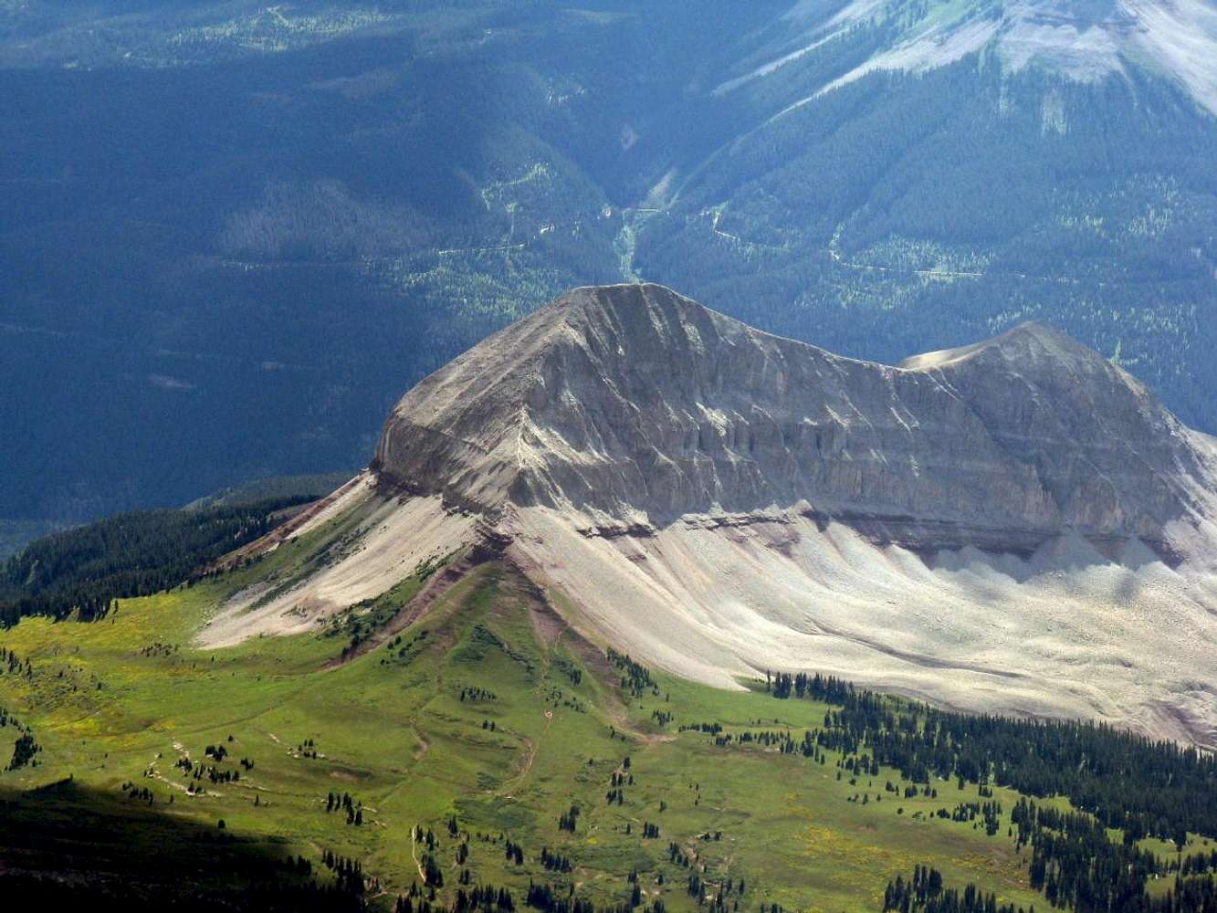
This is an aerial photo of Engineer Mountain looking at the northeast ridge, which shows the route up fairly clearly. It gives someone who hasn't made the climb yet a "bird's eye" view of the trail and exposure that will be experienced on the way up / down. Photo taken from a glider at 16,000'.


