Toggle navigation
Mountains
Routes
Images
Trip Reports
Forum
What's New
People
Areas & Ranges
Articles
Trailheads
Canyons
Huts & Campgrounds
Albums
Logistical Centers
Fact Sheets
Lists
Custom Objects
Gear
Plans & Partners
WELCOME TO SUMMITPOST
SIGN IN
REGISTER
Freel Peak
Additional Parents
Bench Marks
USGS Benchmarks
Image
Freel Peak
View High-Resolution Image
Freel Peak
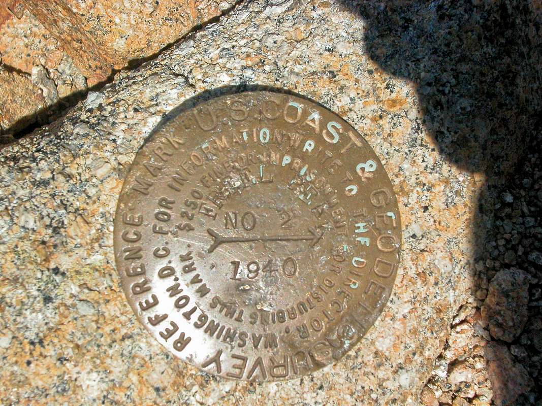
The bench mark for Freel Peak. Freel Peak is the high point for Carson Range, The Lake Tahoe Basin, and El Dorado County in California. The elevation is 10,881 ft / 3,316 m.
Photo Taken on June 22, 2007
« PREV
NEXT »
JasonH
on
Jul 4, 2007 1:47 pm
Comments & voting
Other parents
Lat/Lon:
38.79982°N / 120.0055°W
Image Type(s):
Informational
Image ID:
307827
4877 Hits
71.06
% Score
1
Votes
Log in to vote
Comments
No comments posted yet.
to post!
Don't have an account?
Freel Peak
(Mountain/Rock)
« PREV
Viewing
#87 of 131
GALLERY
NEXT »
JasonH's Image Gallery
« PREV
Viewing
#132 of 204
GALLERY
NEXT »
Bench Marks
(Album)
Loading....
USGS Benchmarks
(Album)
Loading....
×
You need to login in order to vote!
User Name
Password
Remember me
Forgot your password?
Log me out when I close my browser.
Keep me logged in all the time.
sign in as a user
Don't have an account?
Register now for FREE
Rating available
Suggested routes for you
People who climb the same things as you
Comments Available
Create Albums
Register Here


