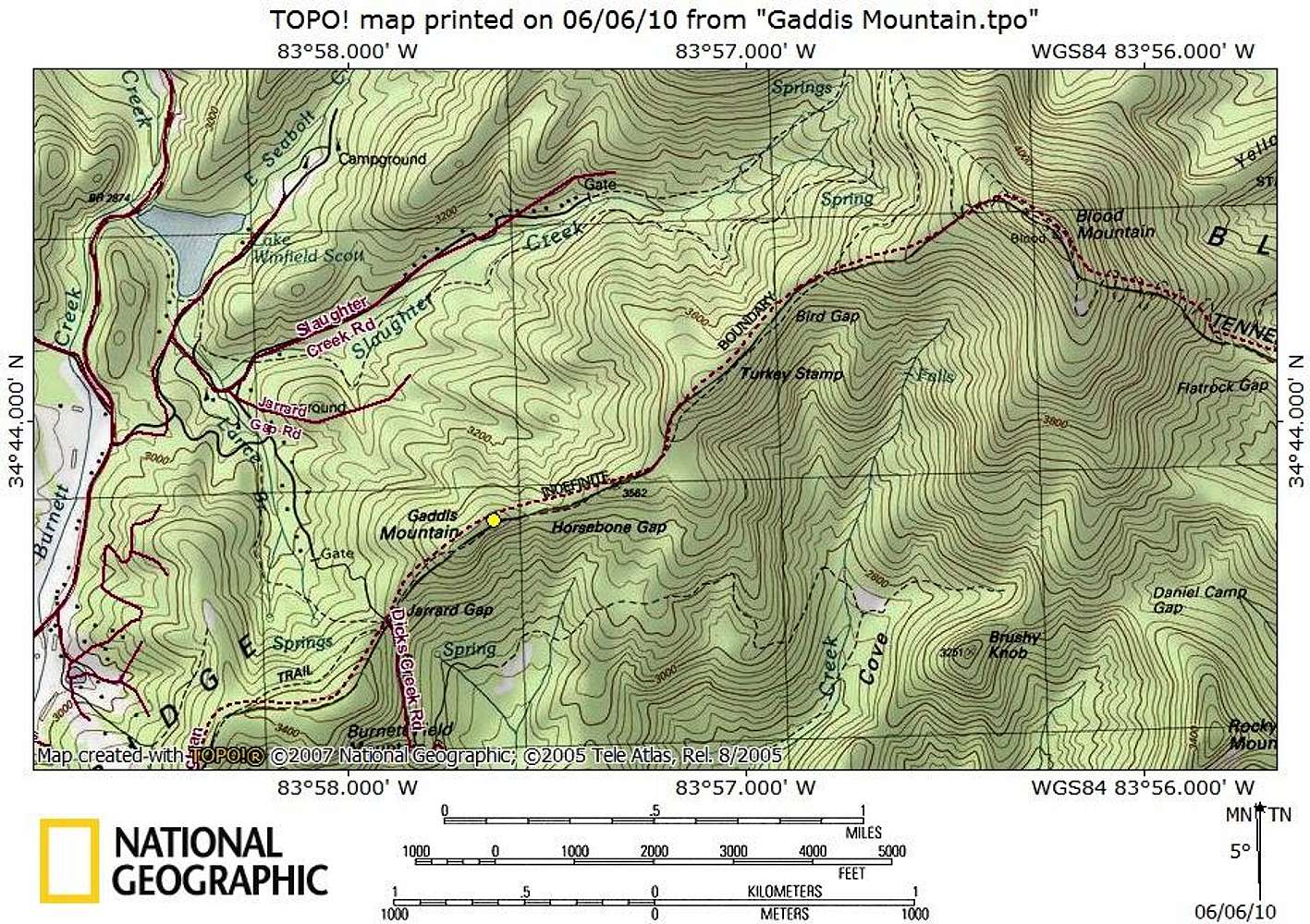
Gaddis Mountain sits just off the AT between Woody Gap and Neel Gap. As such, backpackers or slackpackers (day hikers using shuttles to cover the AT) heading between these two major put-in points will pass very close to the Gaddis Mountain summit, and just a short tip-toe through poison ivy will get them to the top. The summit is roughly 4 miles south of Neel Gap and 6 miles north of Woody Gap.
Map created June 2010


