Toggle navigation
Mountains
Routes
Images
Trip Reports
Forum
What's New
People
Areas & Ranges
Articles
Trailheads
Canyons
Huts & Campgrounds
Albums
Logistical Centers
Fact Sheets
Lists
Custom Objects
Gear
Plans & Partners
WELCOME TO SUMMITPOST
SIGN IN
REGISTER
Black Mountain
Additional Parents
East Route
Image
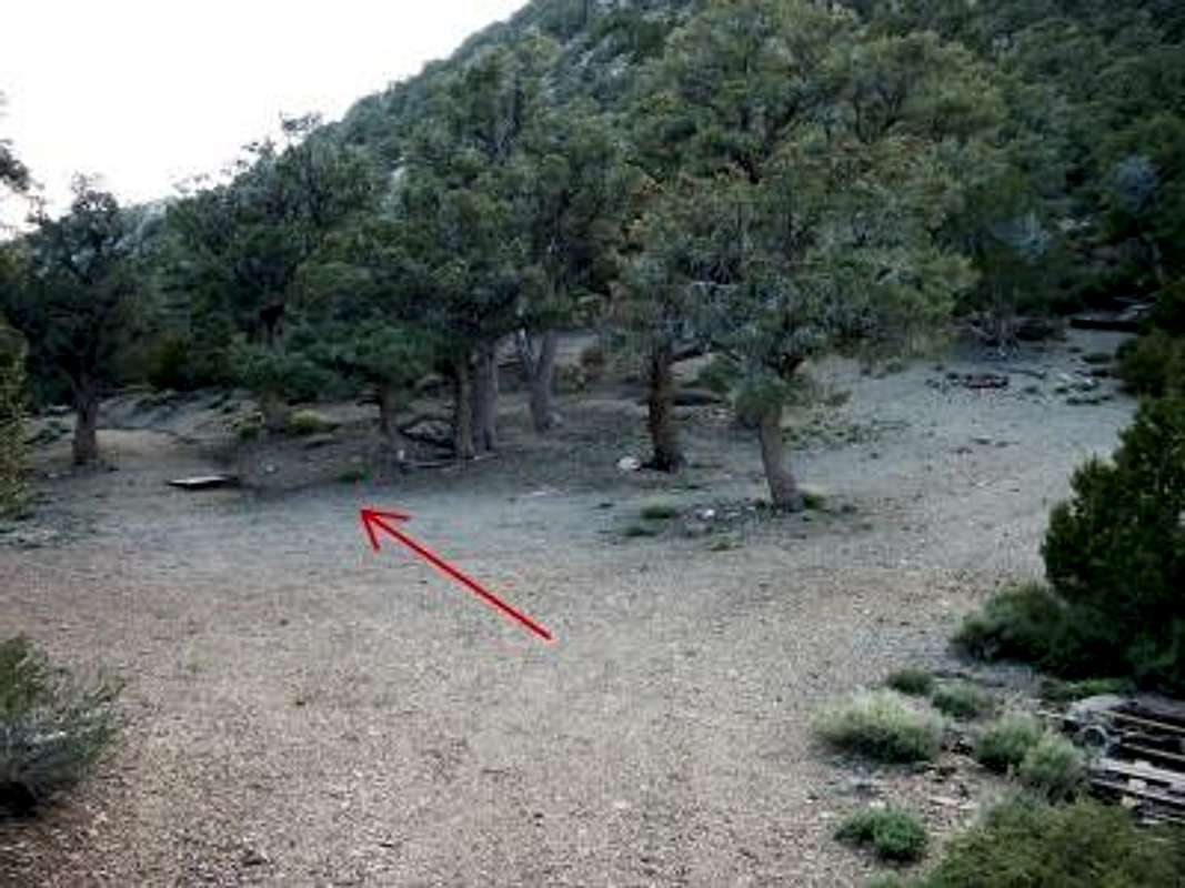
Go this way
View High-Resolution Image
Go this way
Although the trail from the old mine wraps around the north side of the eastern summit, it actually starts up this road that heads to the south. Our first time up, we followed the directions literally and missed the start of the trail.
« PREV
NEXT »
thedus
on
Jun 2, 2006 8:18 pm
Comments & voting
Other parents
Lat/Lon:
37.26698°N / 118.22533°W
Image Type(s):
Topo/Diagram
,
Informational
Image ID:
197734
3660 Hits
71.86
% Score
2
Votes
Log in to vote
Comments
No comments posted yet.
to post!
Don't have an account?
Black Mountain
(Mountain/Rock)
« PREV
Viewing
#6 of 8
GALLERY
NEXT »
thedus's Image Gallery
« PREV
Viewing
#12 of 20
GALLERY
NEXT »
East Route
(Route)
Loading....
×
You need to login in order to vote!
User Name
Password
Remember me
Forgot your password?
Log me out when I close my browser.
Keep me logged in all the time.
sign in as a user
Don't have an account?
Register now for FREE
Rating available
Suggested routes for you
People who climb the same things as you
Comments Available
Create Albums
Register Here


