Hand drawn schematic map of...

Hand drawn schematic map of...

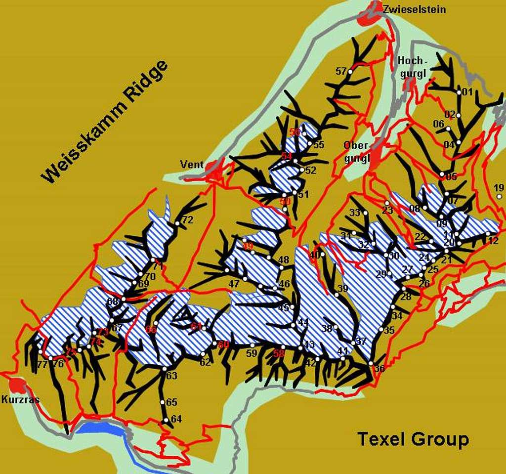
Hand drawn schematic map of the Ötztal Alps Main Ridge. The red lines constitute the trails, glaciers are denoted white-and-blue. The numbers refer to the listing in the text of the main page
Gangolf Haub
on Jul 4, 2005 2:56 pm
Image ID: 113357

Comments

Post a Comment
Viewing: 1-2 of 2
om

om - Jul 4, 2005 3:14 pm - Voted 10/10

Schön !

Gandolf, Sie Arbeiten zu viel...

Gangolf Haub

Gangolf Haub - Jul 4, 2005 4:07 pm - Hasn't voted

Re: Schön !

C'est vrai, Olivier, mais Samedi je va aller dens les "Dolomiti" (Pale di San Martino). Un peu de traivail, après.....

Viewing: 1-2 of 2