

Day Hiker - Nov 16, 2006 7:13 am - Hasn't voted
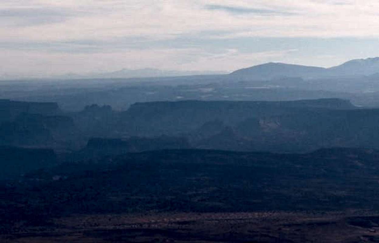
Points IdentifiedHere is an image that identifies the named points visible in the image on this page. In the linked photo, note that Mount Sneffels is off the left edge of the photo, so the direction of view is slightly too far south to include Uncompahgre, but some other mountains of great distances (over 150 mi.) are visible instead.
Southeastern Utah is really a spectacular part of the world. I look forward to seeing this view from the top of Mount Ellen someday.

Dmitry Pruss - Nov 16, 2006 3:26 pm - Hasn't voted
Cool!So you model Mother Earth as a sphere? And draw over an existing image with direction / zoom controls?
By the way there is a large massiff just to the left of this edge - not looming as large as Little Cone / Wilson on you reconstruction, but now that you point out that those latter mountains are 30-40 miles closer to Ellen, I am not surprised. Let me play with topos and images a bit, I think it would be cool to re-enact the historical heliograph transimission in this limited way.
Note that through most of the summer, when most ascents to Mt Ellen are made, the air is not nearly as transparent.


Comments
Post a Comment