
|
|
Route |
|---|---|
|
|
45.72660°N / 10.84410°E |
|
|
Half a day |
|
|
Overview
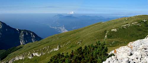
Panoramic trail along the ridges Laste di Tolghe to the Monte Altissimo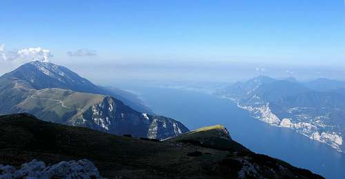
Laste di Tolghe crest
Getting There
 Monte Baldo |  Laste di Tolghe crest |  Laste di Tolghe crest |
Route Description
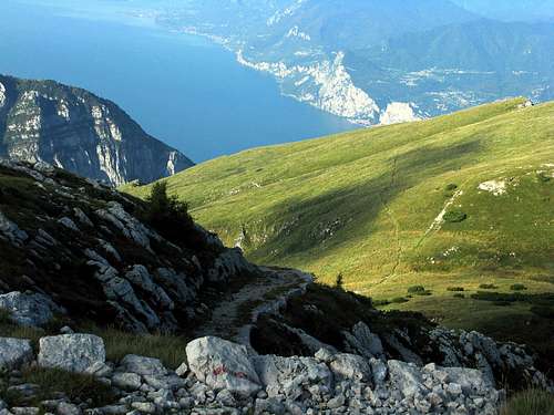
The walk starts on a tarmac road to the start of the 651 SAT path that you'll see on your left. The first part of the path goes through woods, over the Navene ridge, then up over the ridges of the Lastè di Tolghe and onto the Busa Brodeghera (1941m.).
From the grassy meadows, the path leads onto an old military path and then onto the 633 SAT dirt path, that takes you to the Altissimo refuge ( 2060.).
Walking time: c 90-120 minutes.
Laste di Tolghe crest
Laste di Tolghe crest