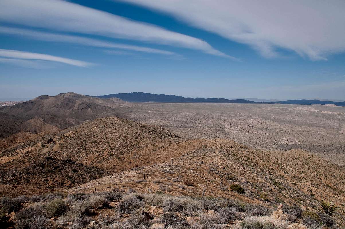
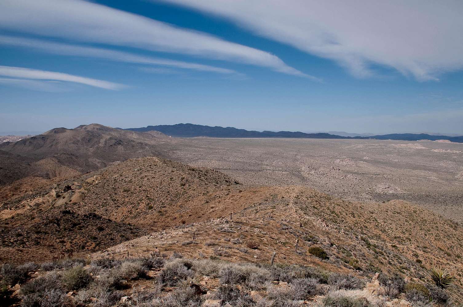
View northeast from the summit of Lost Horse Mountain (5,313'). Lost Horse Mine with "Lost Horse Mine Peak" in the middle distance. Ryan Mountain (left) and Queen Mountain (dark peak) in the far distance. Queen Valley to the right. The trail to the right leads down from the saddle east of Lost Horse Mountain to another unsecured mine and can be taken to continue on a loop back to the parking lot. Joshua Tree National Park. April 10, 2010


