
-
 6476 Hits
-
 79.04% Score
-
 10 Votes
|
|
Mountain/Rock |
|---|---|
|
|
37.87534°N / 79.01611°W |
|
|
Trad Climbing, Sport Climbing, Toprope, Mixed |
|
|
Spring, Summer, Fall, Winter |
|
|
2600 ft / 792 m |
|
|
Overview
The Love Gap Crags are not actually at Love Gap and are not actually directly off the Blue Ridge Parkway, but they are very close to both, hence the name and the grouping.
At Love Gap Crags, there are several moderate trad and toprope routes, with a few easy and hard ones as well. There is also one bolted route and at least one mixed route with some bolts and gear placements.
These cliffs face southwest and often make a good winter climbing destination. They are not so great in the summer due to the humidity.
Most routes are single-pitch from 60-100', but there are a few options for making a two-pitch climb to the very top of the crag. Bolted anchors are above or near the tops of most climbs, but some of those anchors, though they appear to be bombproof, essentially consist of just a single ring. Although I saw people toproping off one such anchor, I strongly recommend backing up any non-redundant anchors even if it means leaving something behind.
In most cases, setting up a toprope usually requires leading a route first.
Loose rock is abundant. Wear your helmet. After leading a route and then while I was belaying first my son, who cleaned, and then my daughter, a climber struggling on a route above us twice sent rocks crashing down on us. Some clipped my nose and cut me; some landed on my head. Had I not been wearing my helmet, disaster could have ensued.
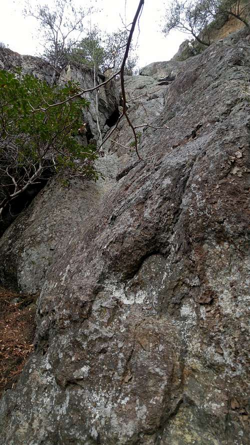 Jungle Blocks (5.4) and Ante Up (5.7) | 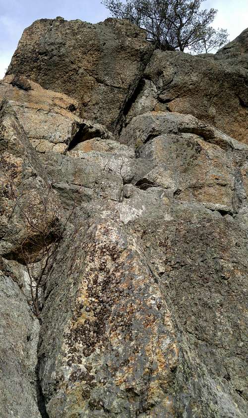 Crack a Smile (5.8) | 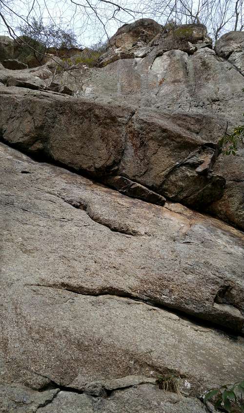 Undercling Slab (5.7) | 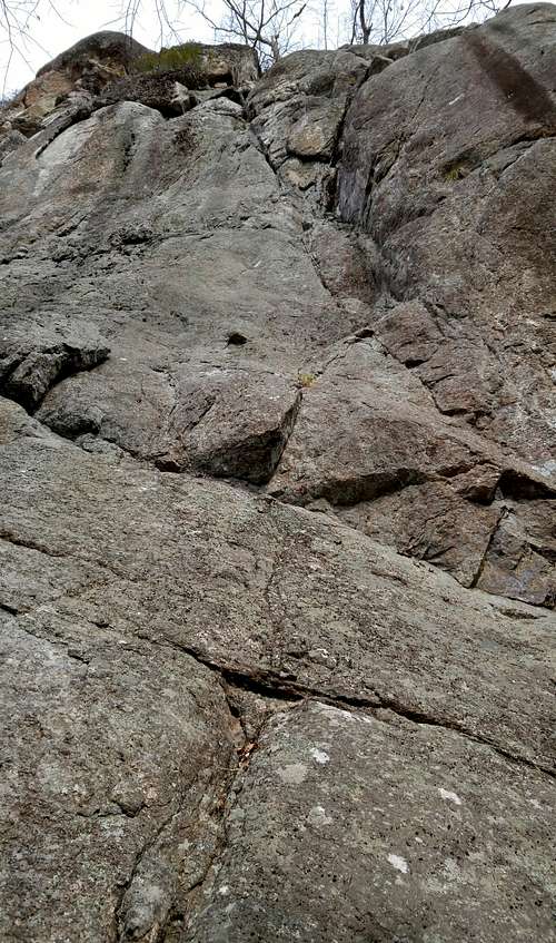 Easy Access (5.3) |
Getting There
There all kinds of ways to access the Blue Ridge Parkway.
Love Gap is at about MP 16. Shortly south of it is a turnoff (SR 814) heading south. This road quickly becomes a dirt road. Drive a short distance and then park in an obvious parking area. On the east side of the road is an old track; it leads to the cliffs, which are visible from the road when the leaves are off the trees. There might be a cairn marking the track, which is not the wide, obvious dirt road (private).
It takes about 5 minutes to hike to the base of the cliffs.
Routes
I've only been here once, and while there, I led a 5.4 (while actually placing more gear on a 5.7) and then set up a toprope so my kids and I could do a 5.7 next to it. So, I'm not going to copy a bunch of beta from other sources. Instead, the linked photos below show the climbs, including their ratings, and I will just comment on the two I did.
The best source for climbing beta here is this awesome online guide by Craig Spaulding and Paul Corridon. Download it to your phone and you're good to go.
The Mountain Project page is pretty good as well, but it relies (and admits to such) heavily on information and photos from the Spaulding/Corridon guide.
- Jungle Blocks (5.4)-- Goes up an awkward and somewhat dirty corner. I actually chose to climb and protect the cracks just to its right, which were on the 5.7 Ante Up route. At the crux of the 5.7, I moved left and got back onto Jungle Blocks.
- Ante Up (5.7)-- Starts up a nice crack. Then there is an interesting, slightly overhanging crux followed by a slab to the anchors.

Guide photo, linked from Mountain Project

Linked from Mountain Project