Comments
No comments posted yet.
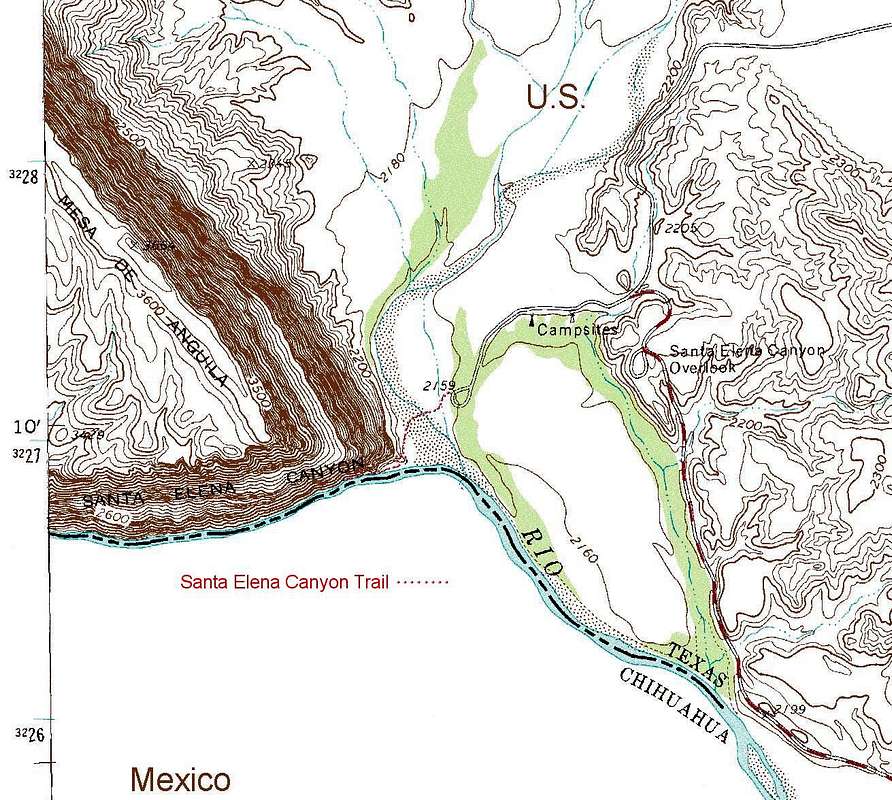
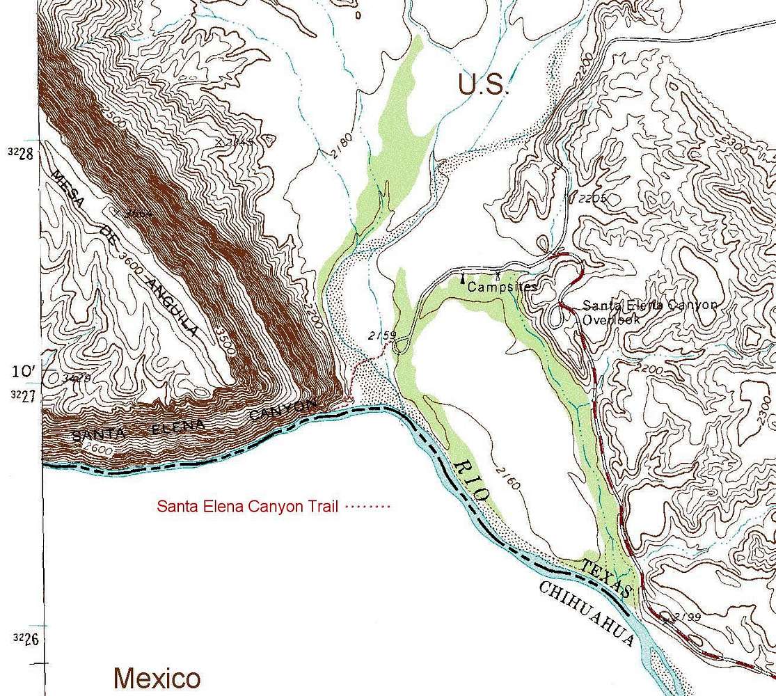
This is an extract of the Castolon quandrangle topographic showing the Santa Elena Canyon Trail in Big Bend National Park, TX. The unmapped terrain on the south side of the river is Mexico. It presents steep terrain, similar to that on the north side. The map is used under the Creative Commons License.


