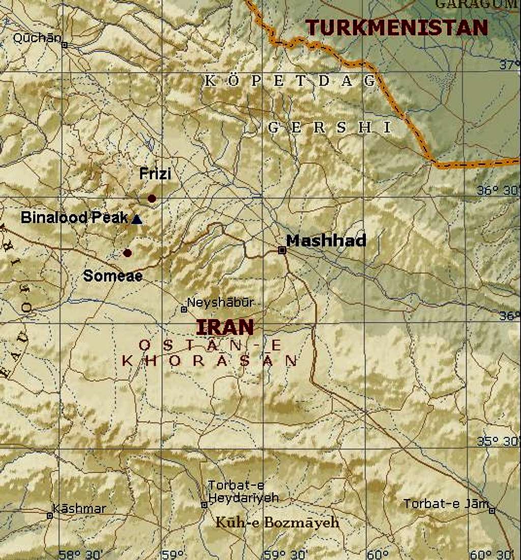
Map of Binalood range
You...
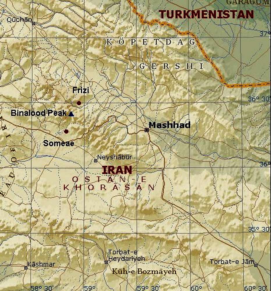
Map of Binalood range
You can get there from Mashhad to the north face and from Neyshaboor to the south face .
From north way, you can start from several village.The most regular village to start is named "Frizi", about 50 Km from the Mashhad. To the south side of the region , from a village named "Someae".


