Comments
No comments posted yet.

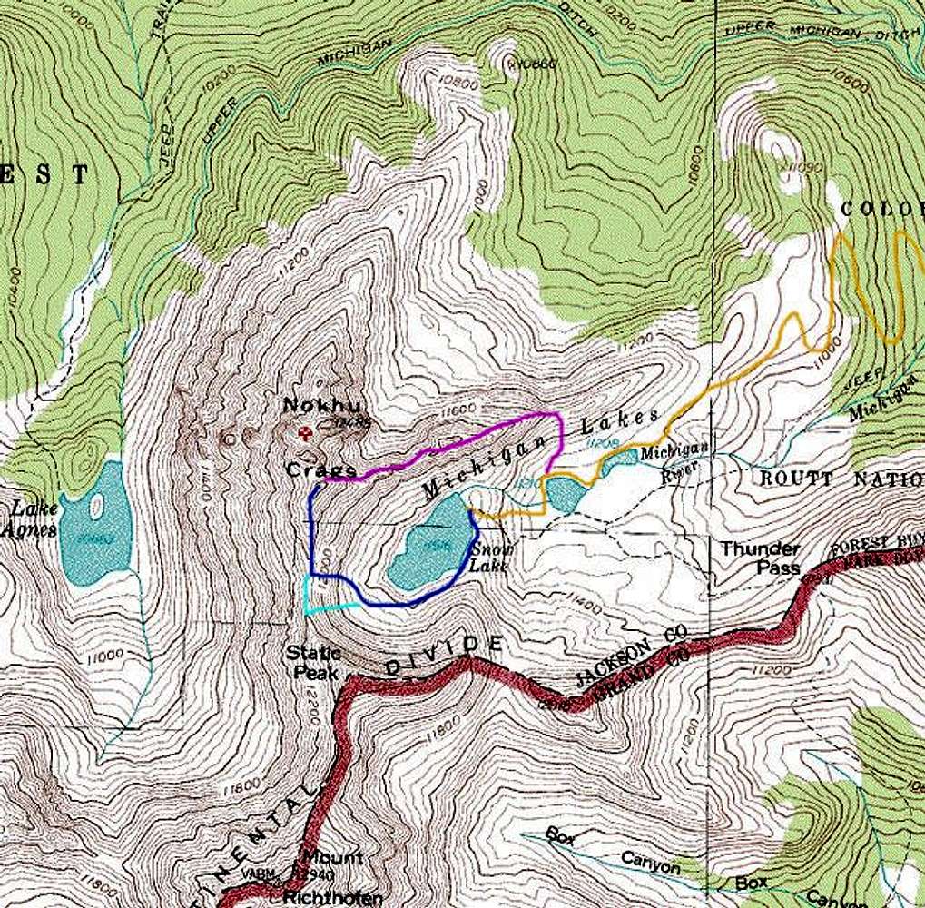
| Map of possible routes from the American Lakes basin. The orange line shows the approach (note that map doesn’t correctly depict the trail). The pink line shows a possible route up the east ridge. The dark blue line shows the route I took to achieve the saddle. From the saddle it’s a straightforward class 3 scramble to the southernmost spire. The light blue line shows the snow filled couloir option. For more photos from my American Lakes trip check out my website: www.leachfam.com. |


