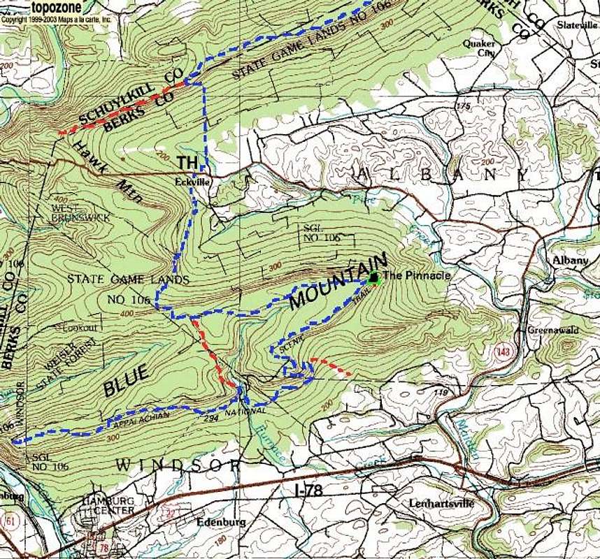
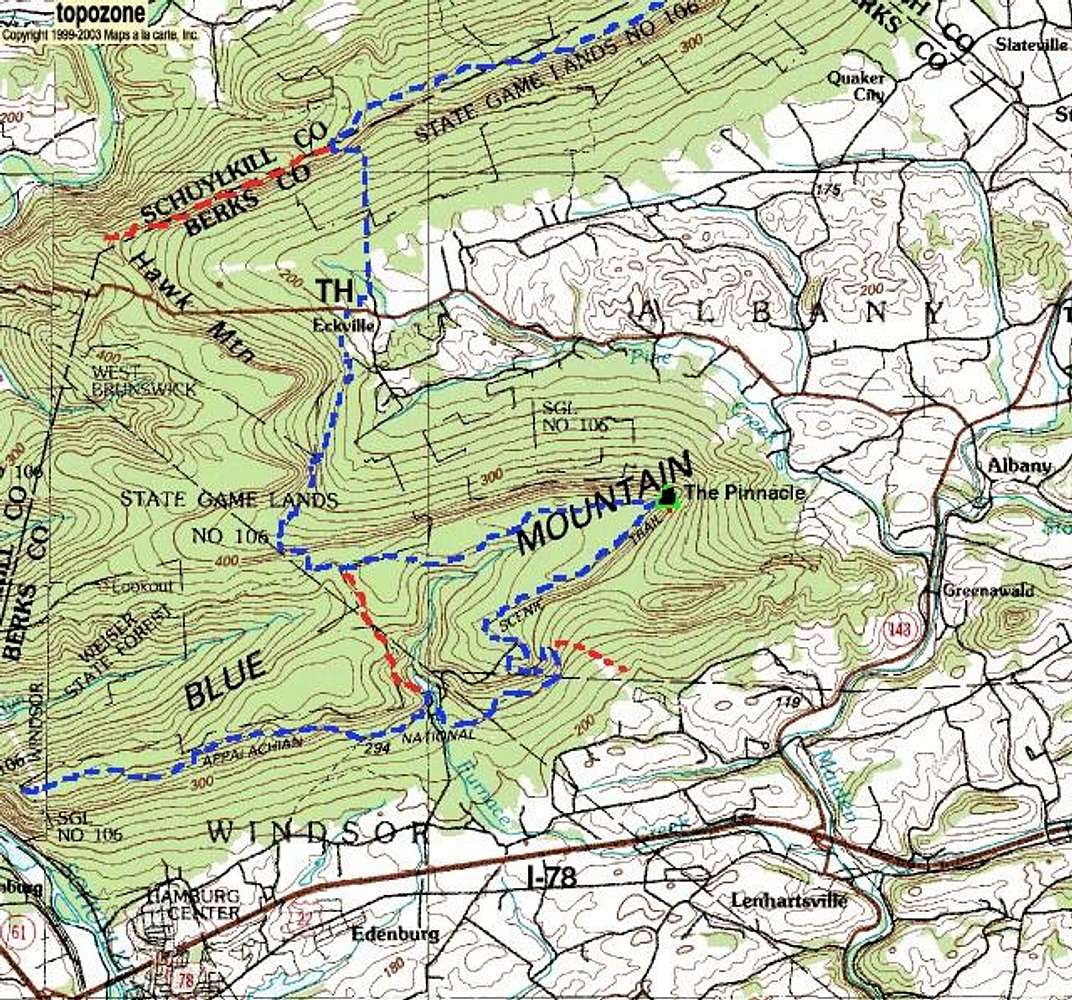
Map of the Appalachian Trail (blue) near the Pinnacle. Red shows prominent side trails including (north) the trail to Hawk Mountain and (center) the Old AT which cuts off about five miles of hiking and the Pinnacle itself. I-78 runs across the southern part of the map and provides access to many places along the AT in this region.


