
-
 16336 Hits
-
 70.59% Score
-
 1 Votes
|
|
Mountain/Rock |
|---|---|
|
|
39.03707°N / 111.57844°W |
|
|
San Pete |
|
|
Hiking |
|
|
Spring, Summer, Fall, Winter |
|
|
10984 ft / 3348 m |
|
|
Overview
Musinia peak is the original name for this mountain also known as Mary's Nipple or Molly's Nipple. It is the prominent peak on the east side of the Northern Sevier Valley and stands on the southwestern corner of the Wastach Plateau. It rises nearly 6,000 feet above the towns of Salina and Redmond, Utah. It has a unique pointed look due to a cap of limestone at its summit.
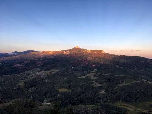
West Side at Sunset
Getting There
From Mayfield, Utah, Drive east on W Canyon Rd toward N Main St for 6.1 miles. Turn right onto Forest Road 0290 and drive 6.6 miles then turn right onto Skyline Drive. Drive 0.8 miles south. There will be a clearing with 2 ATV trails that turn off the main road but join together to make a triangle then meander uphill to the east.
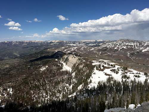
The North Ridge
Route
The main route is along the North Ridge from near Skyline drive. Follow the ATV trail to the ridgeline and walk south along the gently sloping ridge. It becomes 3rd class once at the limestone summit block but is quite easy. It is about 1.5 miles one-way with 1,100 feet of elevation gain.
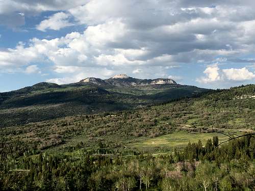
From Cedar Mtn
Red Tape
The peak is on US Forest Service land.
When to Climb
Year-round
Camping
There’s a ton of camping sites along Twelvemile Creek east of Mayfield and Willow Creek east of Redmond and Salina. Otherwise, the small town hotels are not far away.