
|
|
Mountain/Rock |
|---|---|
|
|
45.78194°N / 10.47738°E |
|
|
Lombardia |
|
|
Hiking |
|
|
Spring, Summer, Fall, Winter |
|
|
3320 ft / 1012 m |
|
|
Overview
Monte Censo 1012 m
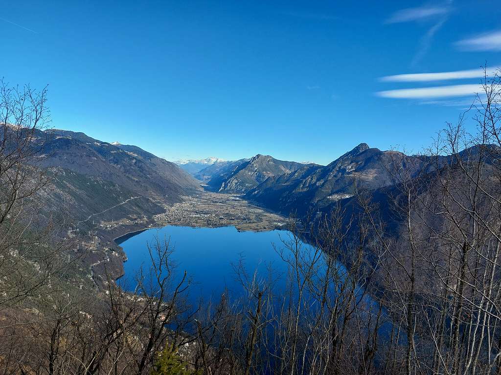
Monte Censo 1012 m is a minor peak belonging to the Prealpi Bresciane e Gardesane. It is a beautiful and elegant mountain with an unmistakable pyramidal appearance. The ascent to its summit is highly recommended as due to the position of the mountain, overlooking the water mirror of the Lago d'Idro (Eridio), you can enjoy splendid views of the lake and the surrounding mountains. On the sides of the mountain it stands one of the most majestic Napoleonic fortifications in Italy, the Rocca d'Anfo, a real barrier to protect against possible invasions by the Habsburg Empire.
Getting There
The inhabited center of reference is Anfo, a small town on the shores of Lago d'Idro. Anfo can be reached both from the South and from the North.
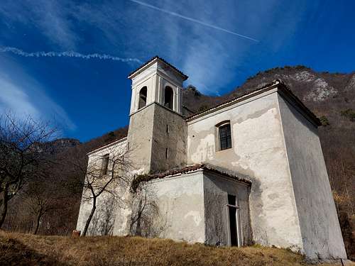
Coming from Brescia we leave the A4 motorway at the Brescia Est exit and continue in the direction of Salò with the SS45Bis. At km. 65.7, following the signposts to Madonna di Campiglio, Val Sabbia and Lago d'Idro, we leave the SS45Bis and continue with the SP45Ter which then becomes the SP237. We drive along the Val Sabbia, in the province of Brescia, and reach Lago d'Idro. We pass Idro and Anfo. Immediately beyond the town of Anfo, on the left of the main road SP237 it branches a narrow winding road in the direction of Passo del Maniva and Passo di Baremone (signposts). Take this road that just under 1 kilometer uphill reaches the Church of Santa Petronilla 524 m, on the right of the road, near which it is possible to park. The road is narrow but paved.
Monte Censo loop
Difficulty: E
Difference in level: 490 from the parking lot at 524 m
Pleasant walk on a marked path, the alternative return is a bit wilder
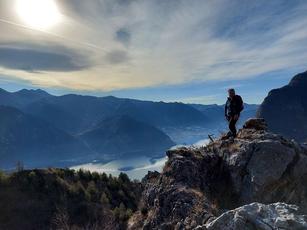
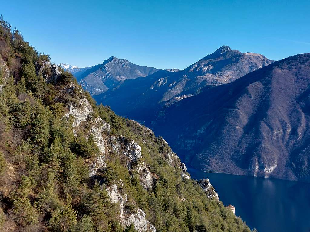
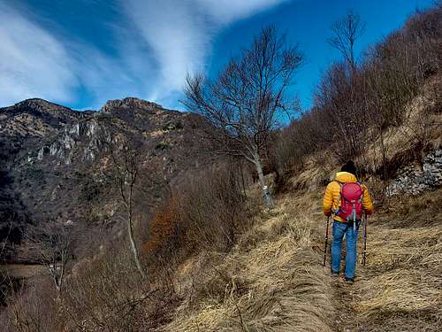
The path n. 433 starts right from the church, near the bend in the road, marked by a wooden table. The path immediately enters the wood going up with numerous hairpin bends, with glimpses of the lake that become wider and wider as you gain altitude. The path is marked by red-white and black-blue signs. Higher up, after a short shady stretch on the left side (Valle di Fontana Fredda), you return to the lake side, and after a long straight stretch overlooking the lake you reach a left-hand bend where a digression branches off to the right. Here a very short detour allows us to reach a panoramic pulpit that gives us a beautiful view of the underlying town of Vesta and the nearest and isolated Torre della Lunetta of the Rocca d'Anfo, the majestic fortress that characterizes the Eridio.
We go back to the saddle and take the marked path that crosses a pine forest. Immediately above the wood becomes more sparse, then disappears, allowing to see clearly the fine almost vertical rocky banks that characterize the south-eastern slope of Monte Censo.
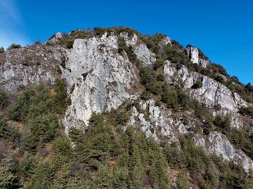
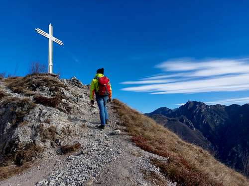
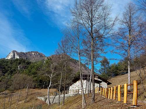
The route skirts a 40 meters high rocky outcrop (possible to climb it to enjoy a better view of the lake), then it makes a sharp curve to the right. We are now in sight of the summit cross. After another series of hairpins we finally arrive below the summit. First we get a signposted crossroad (with the path coming from the locality Cuca Chetoi, that we will follow to go down), where keeping to the right we finally reach the Bivacco Vedetta del Monte Censo. The bivouac is a small brick building that contains a fireplace, three tables with relative benches and some chairs. Immediately we gain the beautiful metal cross with the summit book actually positioned under the top, with a beautiful view of the towns of Anfo and Vesta and towards the South the bulk of Monte Paghera, to the East Monte Stino and, a little further on, Monte Manos. Behind us, to the West, the panorama is dominated by the Brescia Dolomites with the Cima di Meghé in the foreground and, closer, the grassy Cima Valcaelli. The true summit can be reached in a few minutes of walk, giving access to the large summit of Monte Censo. From the summit, the panorama widens towards the North with a beautiful view of the Northern head of Lake Idro and the continuation of the valley towards Tione di Trento.
To return we can either follow the same ascent route, or take a pleasant loop ride (advisable). In this case, at the crossroads just below the summit we continue to the right, on the path towards Cuca Chetoi (895 m), a locality located near the same asphalted road taken to reach the church that continues towards the Passo Baremone.
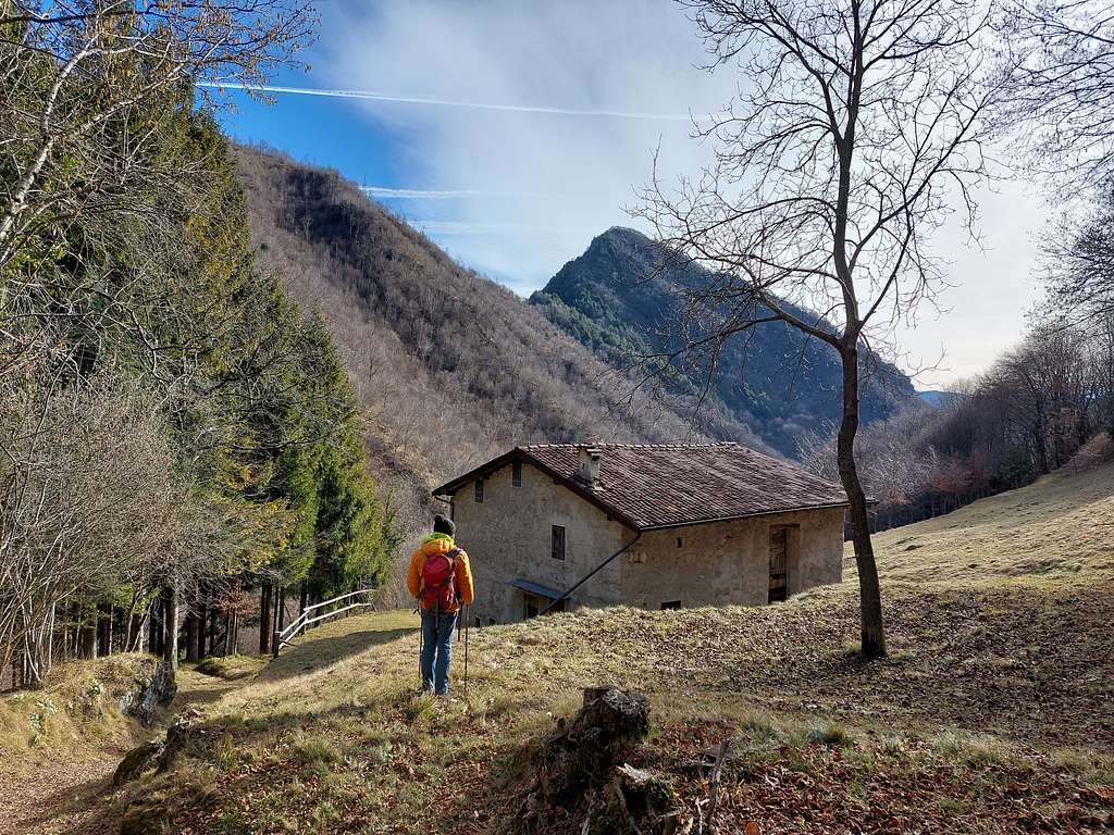
Once we have reached this road, we can either follow it downhill for all its development until we return to S. Petronilla (in all there are 5 km on a road with little traffic) or, once we arrive in the Fontana Fredda valley (which we find about a km further on) just take the path (not signposted) on the left of the road (the entrance is hardly visible) that goes down to the left of the road immediately passing next to two houses, the so-called Sozea barns.
Then, walking next to the stream, you return further down on the road which you must then follow again downhill until you return to the church.
Red Tape
No fees no permits required
When to Climb
All year round
Accomodation
Various possibilities in Anfo and surroundings