

Viewing: 1-3 of 3

McCannster - Apr 18, 2006 1:15 am - Voted 10/10
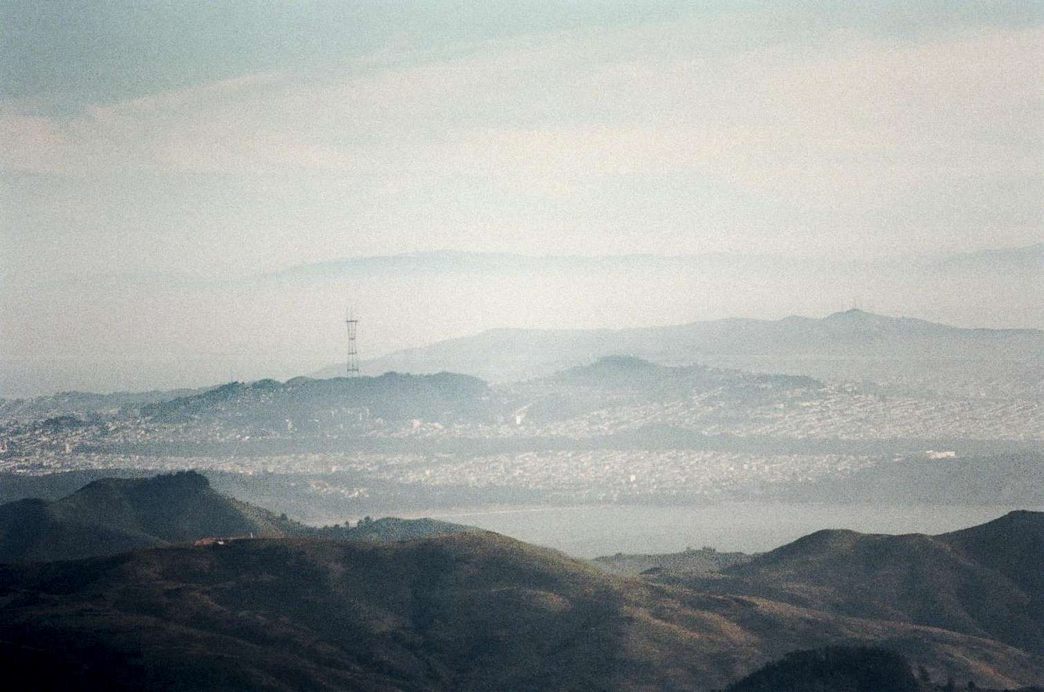
UmunhumMt. Umunhum and the Sierra Azul is visible above the tower.

JasonH - Apr 18, 2006 6:03 am - Hasn't voted
Re: UmunhumThank you David. I wasn't sure what it was. I thought it was San Bruno Mountain but I didn't want to say so if I didn't know for sure.
McCannster - May 2, 2006 2:55 am - Voted 10/10
Re: UmunhumYeah, San Bruno Mtn. is to the right of the tower, on that little highpoint.
Viewing: 1-3 of 3


Comments
Post a Comment