
-
 20315 Hits
-
 87.76% Score
-
 25 Votes
|
|
Mountain/Rock |
|---|---|
|
|
34.24667°N / 118.10389°W |
|
|
Los Angeles |
|
|
Hiking |
|
|
Spring, Summer, Fall, Winter |
|
|
5960 ft / 1817 m |
|
|
Overview: Grand Views on a Former Missile Site
In 1875, USGS surveyors, sighting from the Santa Susana Mountains northwest of Los Angeles, mistook this peak for the highest point in that area of the crest of the San Gabriel front range. Planning to use the peak as their next triangulation point, they dragged their equipment to the summit only to be “disappointed” that San Gabriel Peak, a half mile east, was actually higher and so had to go there to finish their work. The name Mt. Disappointment was adopted in 1894.Mt. Disappointment’s interesting history continued into the next century. In the 1950’s the summit was flattened to install a Nike missile site. In 1965, the site was turned into a military radio relay site. Although the summit is still occupied by communications equipment, it actually has better views than its higher neighbor, San Gabriel Peak.
On the summit, walk to the granite outcropping and enjoy awesome views of the rugged canyon northwest. To the southeast, San Gabriel Peak is right across the way (about a mile on road/trail). Turn to the southwest, looking towards Tom Sloan Saddle, and you get magnificent views of gorgeous Bear Canyon. To the east, at the other end of the San Gabriel range, Mt. Baldy thrusts its 10,064 foot snout into the sky.
 Mountain Impulse on left taking in views with friends on Mt. Disappointment, June 11, 2006
There are two principal routes to Mt. Disappointment’s summit. One is the San Gabriel Peak Trail from the Mt. Disappointment Fire Road trailhead. The other is the fire road and trail from Eaton Saddle trailhead. Both trails are relatively well maintained and make for easy walk-ups. The close proximity of other peaks, San Gabriel Peak, Mt. Lowe, Mt. Markham, and Brown Mountain, invites making your hike to Mt. Disappointment a multi-summit outing.
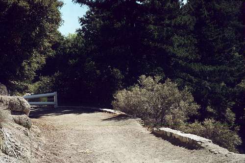
The Mt. Disappointment Fire Road trailhead is found off of the paved Mt. Wilson Road that goes to Mt. Wilson. The San Gabriel Peak Trail begins about 100 feet east of the fire road gate at the trailhead.
 Beginning of San Gabriel Peak Trail
This is a very nice trail with plenty of switchbacks and lots of big-cone spruce and live oak for shade. In 1.3 miles, the trail tops out onto the upper section of the paved Mt. Disappointment Fire Road. Go left on the road the short distance to the saddle between San Gabriel Peak and Mt. Disappointment. Here, turn right and follow the paved road to the summit. The route is about 3.4 miles roundtrip with 1,200 feet of gain.
Alternatively, from the Mt. Disappointment Fire Road trailhead, one could follow the paved fire road to the saddle and then to the summit. The fire road follows a circuitous route, as opposed to the more direct trail. This route would be about 6 miles roundtrip. The fire road is a popular route for mountain bikers. For hikers, however, the more enjoyable way is undoubtedly up the trail. Thus, the fire road has not been counted as one of the major routes here.
The other major route starts at the Eaton Saddle trailhead. This trailhead is also off of the Mt. Wilson Road.
 Looking toward Eaton Saddle trailhead gate on Mt. Lowe Fire Road
 Mt. Markham from near Eaton Saddle trailhead
From the trailhead go west on the Mt. Lowe Fire Road about ½ mile to Markham Saddle. There, take the trail on the right that goes past a large water tank. After climbing for .7 miles, you will come to a trail junction. Go left at this junction to the saddle between San Gabriel Peak and Mt. Disappointment and pick up the paved road to the summit of Mt. Disappointment. This route is about 3.7 miles roundtrip with about 850 feet of gain.
Getting There
From the 210 Freeway, exit at Angeles Crest Hwy (SR 2) and go north. At 9.5 miles, you will come to the Clear Creek Ranger Station and the junction with Angeles Forest Highway. Continue straight on SR 2 about 4.5 miles to the junction with the Mount Wilson Road at the Red Box Ranger Station. Turn right. Drive 0.4 miles to the Mt. Disappointment Fire Road trailhead (watch for it carefully on the right because it is easy to miss) or 2.3 miles to the Eaton Saddle trailhead (there is a parking area here on both sides of the road).Red Tape
You will need an Adventure Pass to park your vehicle anywhere within the Angeles National Forest. These passes are not sold at most trailheads. However, they are currently sold at the Red Box Ranger Station (thus on the way to the two trailheads mentioned here) ($5 per day or $30 for a yearly pass). Otherwise, they are sold at most Southern California sporting good stores.No permits are required for hiking.