
|
|
Mountain/Rock |
|---|---|
|
|
38.77330°N / 106.394°W |
|
|
Chaffee |
|
|
Mountaineering |
|
|
Summer |
|
|
13218 ft / 4029 m |
|
|
Overview
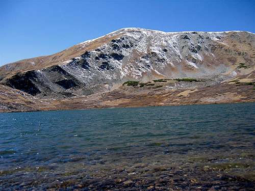
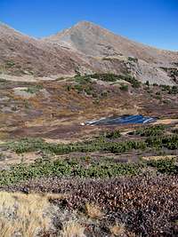
Jones & Ptarmigan Lake

Jones

Jones
Jones Mountain rises in the Sawatch Mountains of central Colorado near Cottonwood Pass. According to the USGS Map, Jones Mountain consists of a one mile long ridgeline that connects Point 13218 ft to the south, to Point 12995 ft to the north. In this discussion, however, Jones will refer to the 13218 ft summit.
To the northeast of Jones, you will find a high basin that houses many alpine lakes including the often visited Ptarmigan Lake which sits at an elevation of 12132 ft. A well-established trail goes from the Cottonwood Pass Road to a 12260 ft saddle just above Ptarmigan Lake. From the saddle, the summit of Jones is a walk-up.
Jones (middle of picture) from Cottonwood Pass (NW face)
The southern slopes of Jones drop into the valley of South Cottonwood Creek. A Jeep Road climbs out of this valley and ends at a spot near the 12260 ft saddle providing another walk-up access route to Jones.

Northeastern face of Jones
 SE face of Jones | 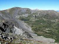 East face of Jones |
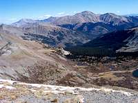
From the summit of Jones, you will have good views of many of the high peaks of the Sawatch Range including the famous 14ers: Mt. Yale, Mt. Princeton and Mt. Antero.
Views From the Summit of Jones Mountain:
 Mt. Yale |  Ptarmigan Lake |  Princeton & Antero |
 Looking NW |  Emma Burr |  Mt. Aetna |
Getting There
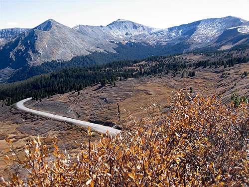
Directions to Ptarmigan Lake Trailhead:From the intersection of Cottonwood Pass Road (FR 306) and Route 24 (the traffic light in the town of Buena Vista), drive the cottonwood Pass Rd 14.6 miles west to the well-signed Ptarmigan Lake Trailhead (Cottonwood Pass Rd is a paved road that is closed during snow season).
 At Trailhead |  Cottonwood Pass Rd |  Cottonwood Pass Rd |
Red Tape

Lake Basin
No fees or permits for day hiking.
For other regulations, see the site for San Isabel National Forest.

Lake Basin
 Lake Basin |  Lake Basin |  Lake Basin |  Lake Basin |
Weather
See the forecast for the town of Buena Vista, CO.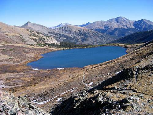
Ptarmigan Lake & Mt. Yale
 Summit |  Summit | 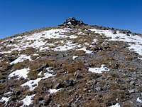 Summit | 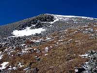 summit |
External Links
Ptarmigan Lake Hike.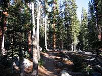 Pine Forest |  Frozen Creek |  Pine Forest |