|
|
Mountain/Rock |
|---|---|
|
|
48.48000°N / 120.91°W |
|
|
9200 ft / 2804 m |
|
|
Overview
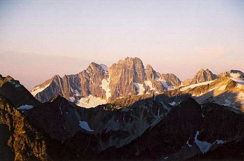
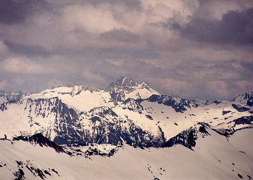
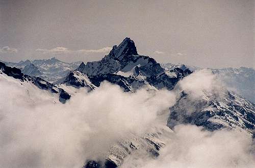
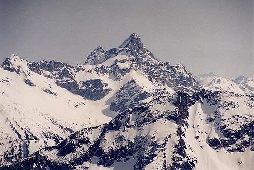
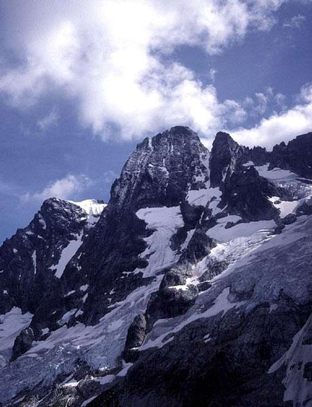
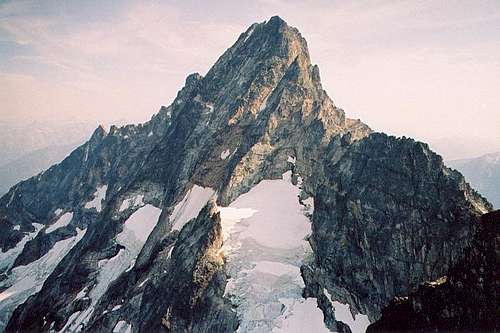
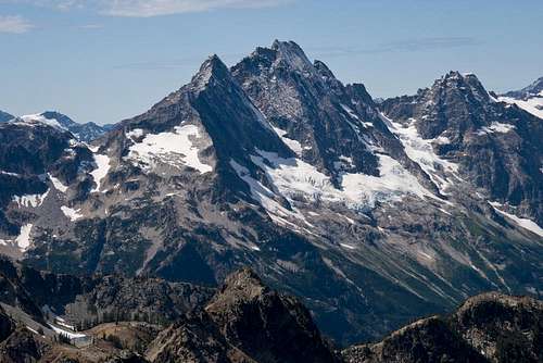
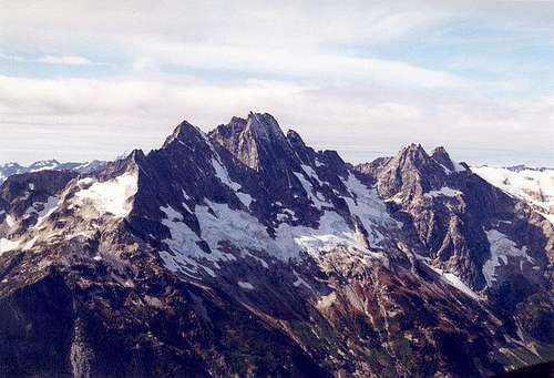
Goode Mountain (more commonly referred to as Mt. Goode) is one of the monarchs of the Cascades. It is one of ten non-volcanic peaks in Washington State above 9,000 feet in height. Though it is the highest summit in North Cascades National Park, it is only ever seen by climbers and hikers, since the mountain apparently cannot be seen from any road. The mountain can be seen briefly from a boat on Lake Chelan. It is interesting that a peak in the top 10 in terms of height in the state cannot be seen from any road.
Goode Mountain has no easy summit route. The easiest way up is probably via the Southwest Couloir, but even this is class 4. The summit area is more of the same, and can even be considered class 5 depending on the route ascended. By far the most popular route is up the Northeast Buttress (approximately 5.4 climbing in dry conditions). This route is on many a rock climber's wishlist. Rock is Skagit Gneiss.
Is it pronounced "good-ee" or simply "good"? The answer is the latter. But most people say the former, probably because it is easier to distinguish the Goode from merely the good.
Getting There
Note: Flooding from October 2003 washed out the Stehekin Valley Road in a number of places. See here for up-to-date information. After studies concluded last year (2006), it was decided not to repair the road beyond High Bridge (or just north of High Bridge). This is 11 miles from Stehekin Landing. Beyond High Bridge the road will be reverted to a trail where foot, bike, and stock travel will be permitted.
The mountain is a long way in by any approach direction. The standard approaches are from either a start at the North Cascades Highway/PCT junction via the head of Bridge Creek or from the town of Stehekin via shuttle bus then trail hiking.
The former approach is used for approaching the NE Buttress Route and is about 10 miles to camp. The latter approach can be used either for the NE Buttress Route or routes on the west side of the peak. For the latter, it is about 7 miles of hiking to the NE Buttress camp or about 4 miles of hiking for west side route camps. Best to consult a map and guidebooks than go by my brief description here.
To get to Stehekin, it is necessary to take either a ferry boat, personal boat, or float plane. It is also possible to make a long hike to Stehekin (War Creek Trail being the shortest?). For information on the ferry boat(s), go here: Lady of the Lake.
Red Tape
Goode Mountain is in North Cascades National Park. It is generally not a problem to obtain a permit for the area, but this may fluctuate from week to week. Permits can be obtained at the Stehekin Ranger Station, at the Winthrop Ranger Station, or the Marblemount Ranger Station.
If you are using the Stehekin shuttle bus approach, it will be necessary to become acquainted with the bus schedules so you don't miss it when you come out. The rangers ask that you try to make a guess at when you'll be coming out so they can expect you at a rendezvous at a certain day and time. However, just because they would be expecting you, don't expect them to wait for you. I think they wait five minutes for you to show up. If you don't show up, too bad. You'll have to wait for the next one.
When To Climb
This climb can be done more or less anytime in the summer. I don't know about winter ascents. I know of the NE Buttress being climbed as early as June. Late season climbs of the buttress are certainly possible. The biggest issue for out-of-season climbs is just getting to the mountain. Like I said earlier, it's in the middle of nowhere.
Camping
Camping is allowed. Designated campsites near trail no doubt have a permit system. There is an upper bivy or two below the NE Buttress--close to the Goode Glacier--that requires no permit, but expect them to be taken if the mountain is ripe for the taking. Due to the slope of the terrain, making a new bivy site could prove difficult.
Mountain Conditions
There's a mountain cam on the summit. Not really. The North Cascades National Park rangers (particularly at the Stehekin location) would know a lot about current conditions in the Goode area. Else, try these:
Localized Forecast
