Welcome to SP!  -   
 
 MbPost.com -- It's SP for Mountain Biking!
Areas & Ranges·Mountains & Rocks·Routes·Images·Articles·Trip Reports·Gear·Other·People·Plans & Partners·What's New·Forum

Popcatepetl (left) and... [ Sizes: Orig | Med | Small | Thumb ]
Popcatepetl (left) and...
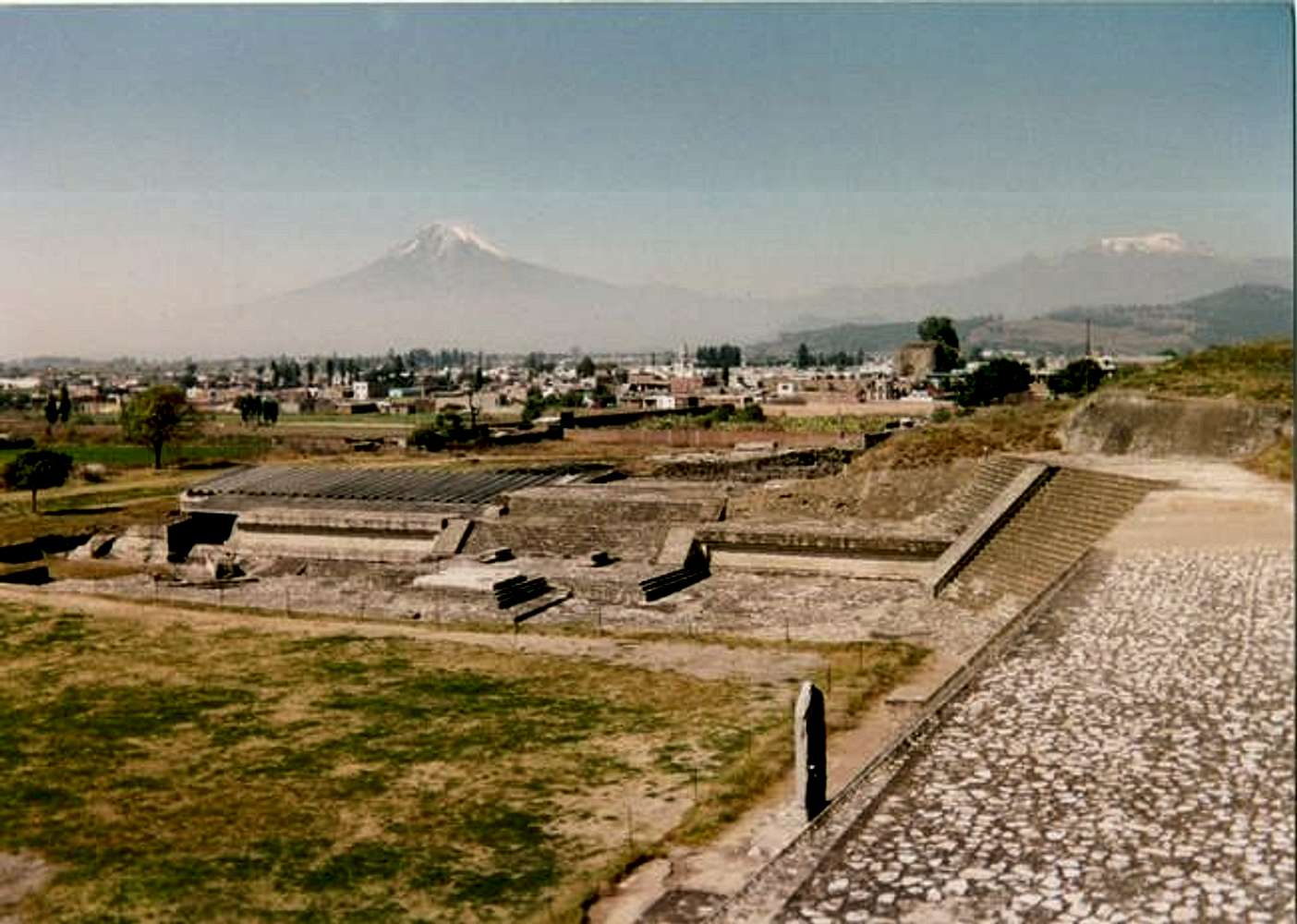
Popcatepetl (left) and Iztaccihualtl (right) as viewed from the Aztec ruins of Cholula on the east side of the mountains. December 1992. Apparently you can sometimes still drive in from the Cholula direction to Paso Cortez (between the two summits) when the normal route from the west and Amecameca is closed due to the eruptions. Sometimes, both routes are closed.


Comments

No comments posted yet.


Sign in to post!

Don't have an account? Register now.


Rate This Image
Current Score: 71.02

Log In To Vote
 Popocatepetl (Mountain/Rock)


« PREV

Viewing
#82 of 89
GALLERY

NEXT »

 Scott's Image Gallery


« PREV

Viewing
#2333 of 2714
GALLERY

NEXT »


 Native American Ruins (Album)


Image Data

Submitted by Scott
on Sep 18, 2005 10:43 pm

Image ID: 126813
Hits: 921 

Lat/Lon: 19.03330°N / 98.6333°W


"I am not a Democrat. I am not a Republican. I belong to the common sense party. Unfortunately, no members of the party are politicians."   --Scott Patterson   

© 2006 SummitPost.org. All Rights Reserved.