

Viewing: 1-2 of 2

clarity - May 17, 2004 2:34 am - Hasn't voted
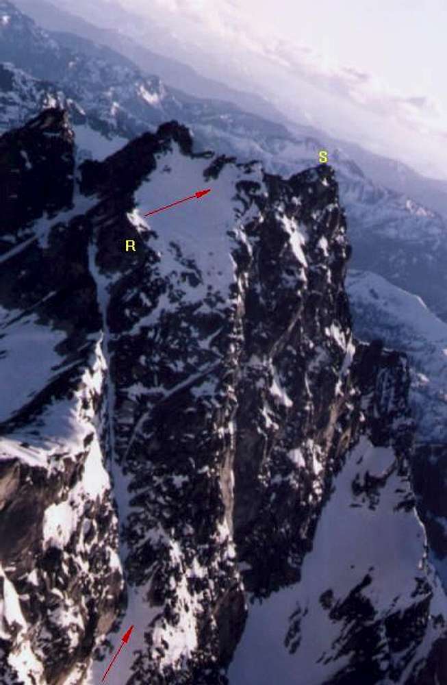
Congratson the traverse! Nice info. What does the yellow R mean? There is a serious rock-climbing pitch here, is that it? What level is it, did you climb it free or dry-tool? Good stuff!

zoroastr - Jun 2, 2010 5:35 pm - Hasn't voted
Oops...Sorry for waiting over six years to reply, but we're thinking of repeating this route, so I'm back here doing research. Anyway, the single rock pitch could be freed, but we protected it with a single rope and a couple of cams. I've seen ratings of the pitch up to 5.6, but it felt more like 5.3 max.
Viewing: 1-2 of 2


Comments
Post a Comment