
No Snow on the Roof of Arizona?
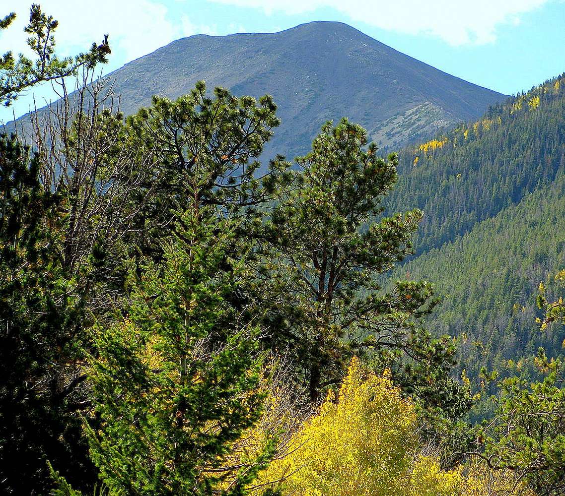
Eastern perspective of 12,637' (3852 m) Humphreys Peak, as seen from near the top of a 10,000-ft ridge approximately 1 mile east of the Waterline Trail and 1/2-mile south of Inner Basin.
On this warm Autumn day, a stiff wind (from the north) was continuously blowing clouds over the Roof of Arizona.
The San Francisco Peaks are actually remnants of a Pleistocene strato-volcano similar to Washington's Mt. Saint Helens. A lateral blast is known to have occurred on this side of Humphreys Peak.
Today, the area contains luxuriant sub-alpine growth, including extensive
stands of Quaking aspen, Ponderosa pine and Douglas fir.
In this photo, you can see the 11,720-ft saddle to the NE of Humphreys, where the top of Beard Canyon meets the top of Abineau Canyon.
Forest Service regulations prohibit hikers from hiking/climbing to the
Roof of Arizona from the Abineau Trail and the saddle seen in this picture.
October 14. 2009


