JonBradford - Dec 20, 2003 10:16 pm - Voted 10/10
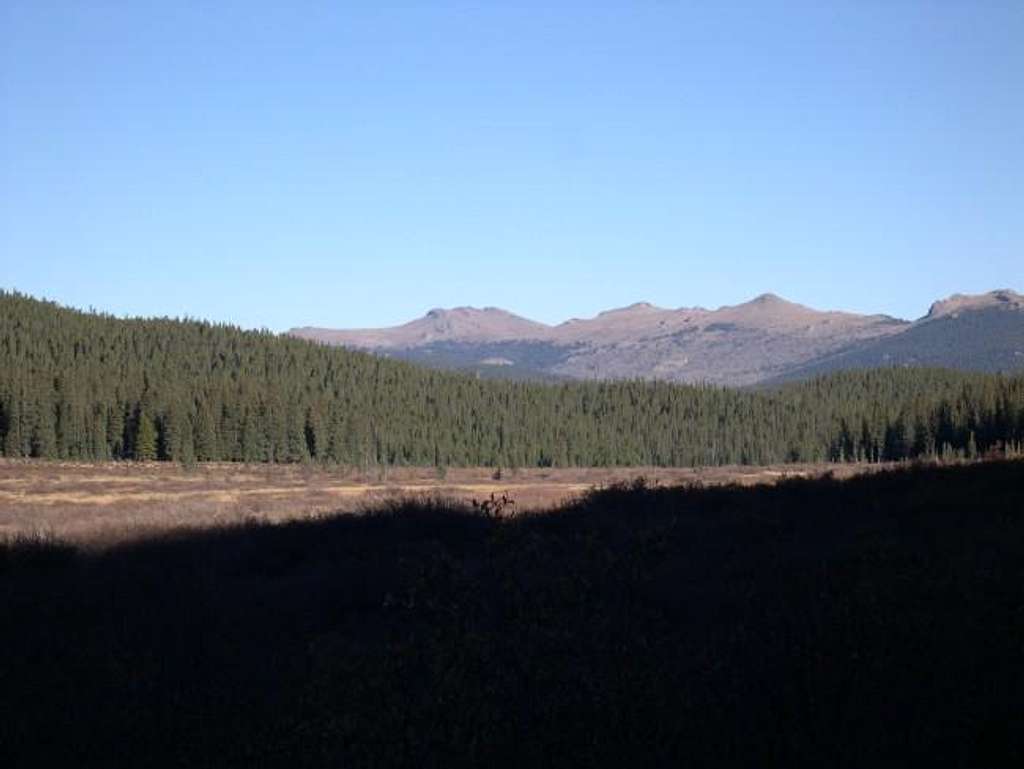
Thanks for the photo.hey do you know the name of the drainage from which you took this photo? I could probably figure it out if I looked at a topo but I'd rather make conversayion... Would you consider yourself a Lost Creek afficianado?
Cheers.
Jon
Grant - Dec 20, 2003 11:07 pm - Hasn't voted
Re: Thanks for the photo.Hey Jon,
It was taken from Indian Creek Drainage about three miles from the Lost Creek Trailhead. Kane, Jim (colonypyat) and I were on out way up to Bison Pk, I really enjoyed exploring Bison's summit block.
As for afficianado in the LCW, hardly. I will leave that to you guys. I live on the south side of Denver and due to the relatively low snow levels in this area it makes for an excellent destination during the winter. The ranges that make up LCW remind me a lot of my favorite Mountain Range, the Wet Mountains but of course the LCW are on a much grander scale.
I want to do the "alphabetizer" and maybe Kenosha Pk (carpool) in May.
Plus finish up the Plate River Peaks. After that then I’ll be happy, I think…… I’ll probably think of something else in the area to do for next year. Plus whatever Kane wants to do, you should jump in sometime, but I must warn you I go by the name “slacker” on the slopes.
Grant - Dec 20, 2003 11:08 pm - Hasn't voted
Re: Thanks for the photo.Grant


Comments
Post a Comment