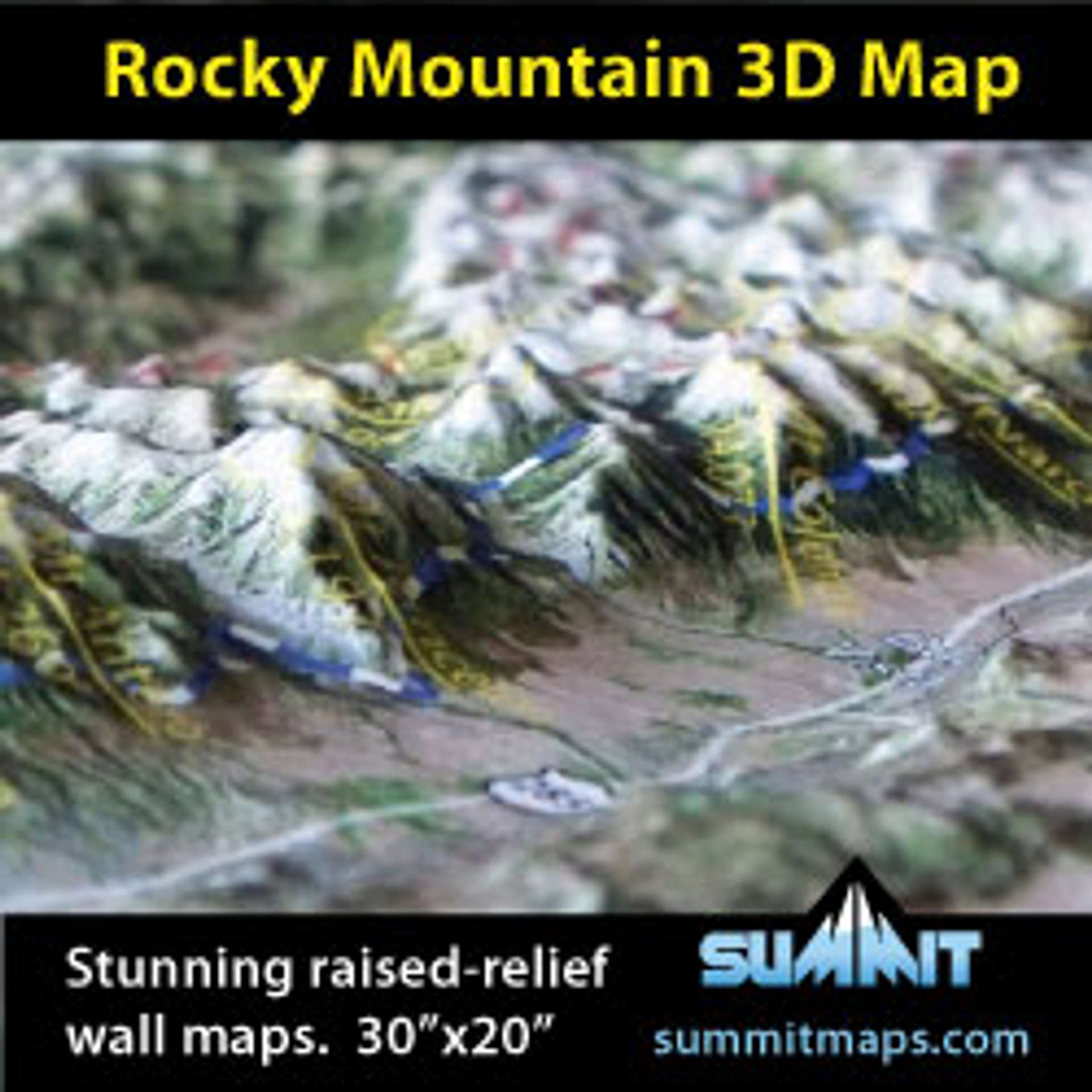
See this new raised-relief wall map that Summit Terragraphics offers of the Colorado Rocky Mountains. The 14,000' peaks are marked and labeled, as well as key mountain ranges, trails, valleys, roads, and towns. The 30" x 20" high-resolution satellite image is precisely molded into the shape of the terrain -- it feels like your looking down from space! It's a very attractive framed piece on the wall of a home or office, and makes a great tool for planning mountain trips.
Summit also offers similar 3D maps of the Sierra Nevada Mountain Range and various National Parks (Yosemite, Grand Teton, Denali, Wrangell, ...).


3Dmapman - Oct 25, 2011 3:43 pm - Hasn't voted
New 3D Wall MapsSummit also offers similar 3D maps of the Sierra Nevada Mountain Range and various National Parks (Yosemite, Grand Teton, Denali, Wrangell, ...).