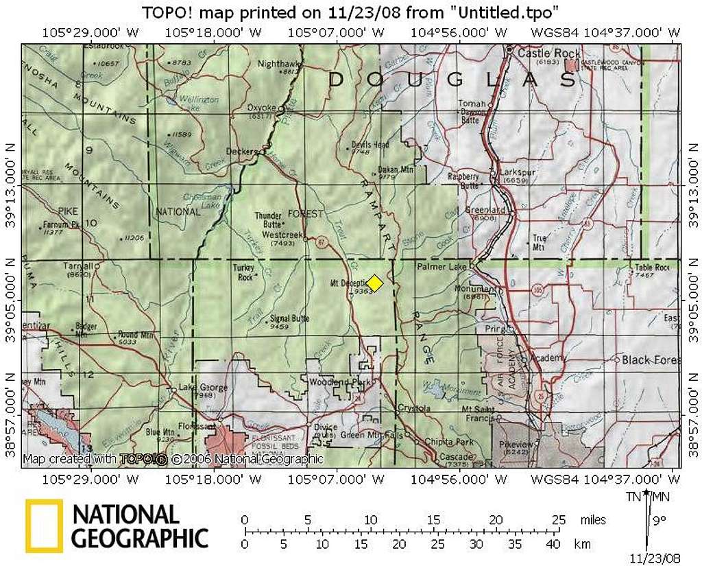
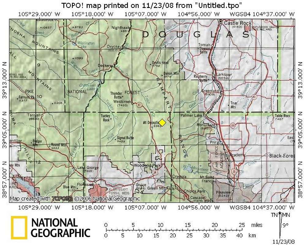
Overview & Area Map for Mount Deception
Sandwiched between Hwy 67 to the west and Rampart Range Road (FR 300) to the east, Mount Deception provides for a pleasant day outing to those in the greater Colorado Springs Metropolitan Area as well as those in southern Denver.16 Nov 2008


