Besides, you can walk/skin up Kosciusko in Winter. Why would you need a guide?


dadndave wrote: A more challenging way to do it would be to ski the "Lakes Walk" by descending from Charlottes Pass to cross the Snowy River and then ascend to the main range (really just a series of hills). You can then ski along the summits of the 7 or so highest mountains in Australia until you reach the summit of K and then return via Rawsons Pass and the Pole line to Charlottes Pass.

dadndave wrote:You could do the entire circuit in a day if conditions are good. It's better to take a couple of days and take side trips to Blue Lake (in a good season you can even do a little ice-climbing there) and to the summit of Mt Townsend, Watsons Crags etc. Ski-ing the road back to Charlottes pass is great when yer tired. A long, gentle downhill run. There used to be a great hut at Lake Albina years ago but NPWS demolished it. Pity. I think Seamans hut is still intact at Rawsons pass though. I'll probably head down there this January.
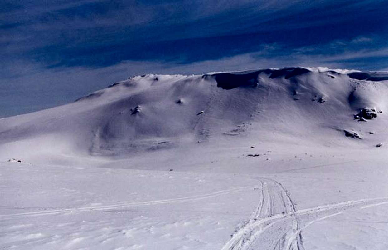
This is a view of the main range from the west. It's a more unusual view that tourists don't often see because they approach from the eastern side. The lakes walk route would involve ski-ing from left to right along much of the skyline in this photo.
Users browsing this forum: No registered users and 0 guests
