jrbrenvt wrote:
If this sign were correct this might be it. I would call it more of a road then a "highway" though. It was paved from what I recall (it was 2007 when I was there). Not to mention everyone in my group who had an altimeter were reading in the mid 17K's... But fun sign nonetheless. The altimeter readings seem to be backed up by the wikipedia page for Khardung La. I am quite sure this road exists for Indian military purposes but tourists make use of it as well.

+1
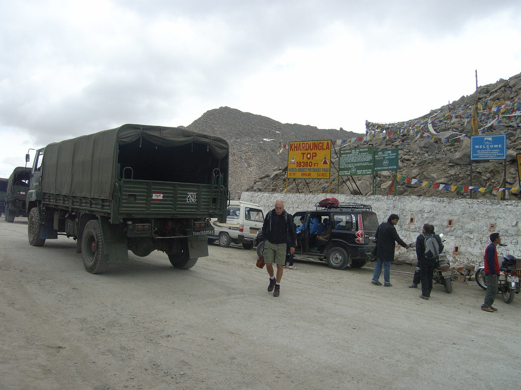
Here's a photo I lensed last year in the Khardung La. You can see an Indian military convoy moving through it. Kickass bike descent. Over 5600 meters.