Day Hiker wrote:SpiderSavage wrote:Day Hiker, Can you post your map??
Yes. I need a few to make a better one, worthy of posting.
ksolem wrote:OK I don't have any fancy software or such, but I'm not getting how Olancha peak and Langley can be off frame right of the Whitney group from there when they are to the south.
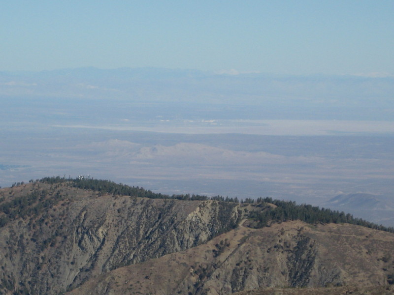
Just by eye I would guess you're seeing the Whitney area crest in the center, The Inyo/Whites to the right and the Owens Valley between. Without a compass bearing for the camera it's just a guess.
It will make sense when you see the generated image. The smaller hills in the foreground match up with those in the photo, as well, helping to confirm the camera direction.
By the way, my "fancy software" is just Microsoft Excel, and I did all the math and wrote all the Visual Basic code for this myself. I spent a lot of time but no money.
Ok, here it is. My original image was 1800 wide, but I resized it to 50% to save on bandwidth. I tried to match with the photo by scaling the photo a bit. The scaling was just a bit of trial and error, so it is not exact. But I put vertical lines between the two images to show corresponding locations for Mount Kaweah and Mount Whitney.
In case you're wondering how I determine what's what in the generated image, it's because my program also creates an auxiliary file that stores the lat, lon, and elevation corresponding to every pixel in the generated bitmap. So after it's finished, I pick a point on the image, get the coordinates for that pixel, and enter those coordinates into my program, which then gives me the lat, lon, and elevation of that point. I can then compare the location to that of known points, or I can look at the point on MyTopo.com or Google Earth to identify it.
I could increase the resolution a bit, which would improve the appearance of the foreground hills. But it wasn't important for identifying the distant peaks, and using higher-resolution data would make it take longer.