Page 1 of 1

Coastal Crest Snow Patrol 2012/2013

PostPosted: Tue Oct 23, 2012 3:32 am
by jibmaster
Another ski season is just around the corner!

:D

...ANOTHER THING TO WATCH IS THE SNOW
LEVELS. MODELS HAVE THEM DROPPING TO AROUND THE PASS LEVELS EARLY
NEXT WEEK. THIS MEANS WE HAVE THE POTENTIAL FOR THE FIRST SNOW OF
THE SEASON NEXT WEEK FOR THE HIGHEST ELEVATIONS. THE MODELS SEEM
TO BE IN GOOD AGREEMENT WITH THIS, SO UNCERTAINTY IS MARGINAL AT
THIS TIME. SO STAY TUNED. KEPT THE REMAINDER OF THE FORECAST
SUBSTANTIALLY ABOVE CLIMO AS THE LONG WAVE TROUGH REMAINS OVER THE
WEST COAST.

http://cdec.water.ca.gov/cgi-progs/weather/SFOAFDEKA


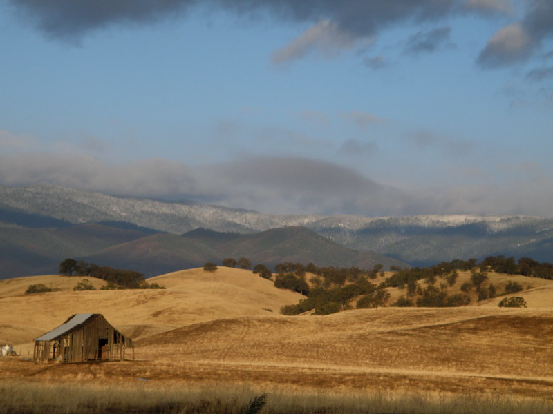
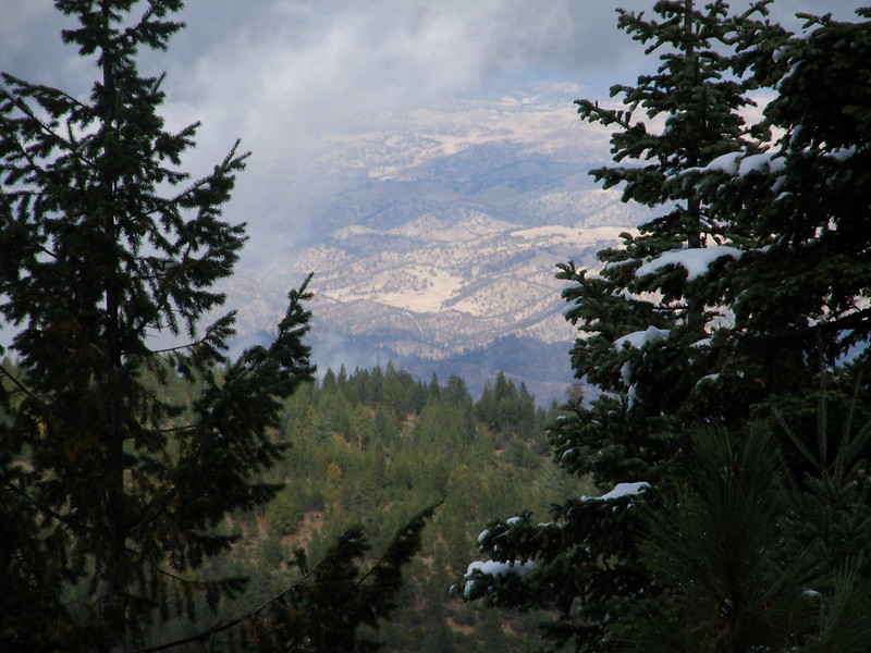
Hull Mountain - March 9, 2011
Image

Trip reports from Hull Mt.
Goes back to 2003 when I started posting TR's.
http://www.thebackcountry.net/bb/viewto ... &start=100

18 years of skiing Mendocino National Forest.
Here's the guide:
http://www.earnyourturns.com/3878/ccsp- ... mendocino/

Just a couple more pictures of Hull (over 500)
http://www.flickr.com/search/?w=1174439 ... ull#page=0
Got a few in there from a Hull/Shasta trip one time.

A few videos from the Coast Range from the last couple years.
http://www.youtube.com/user/MrJibmstr/videos?query=Hull

http://www.youtube.com/user/MrJibmstr/v ... olla+bolly
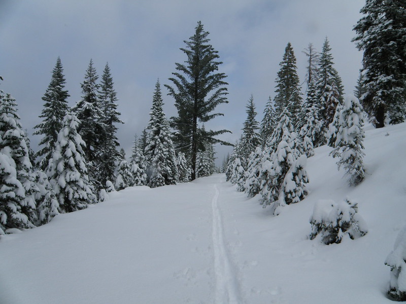
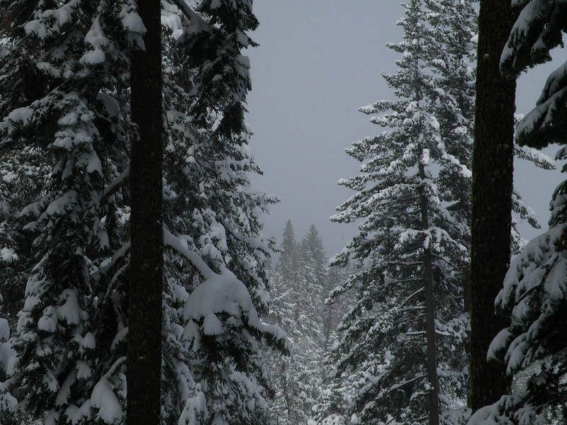
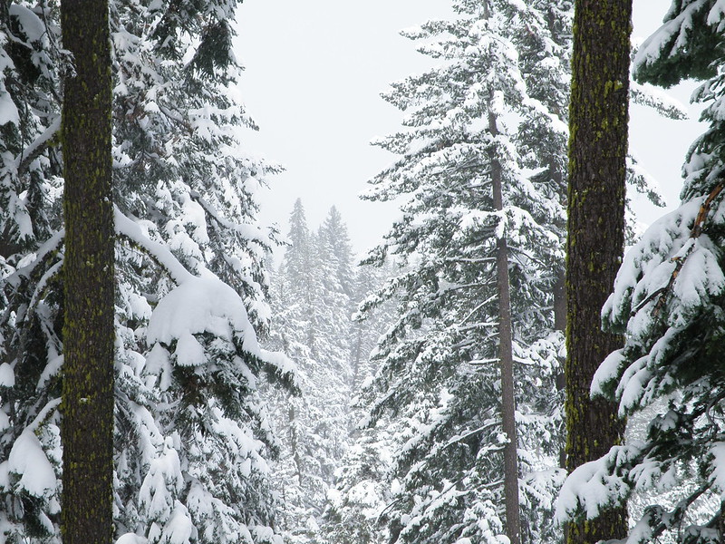

------------------------------------------------------------------------------


It's snowing!

:D

Man, should I jib on up to South Yolla Bolly on Wednesday?
It's been dumping up there all day. More tonight and tomorrow and Wed.
http://www.nohrsc.nws.gov/interactive/h ... 25&min_y=3

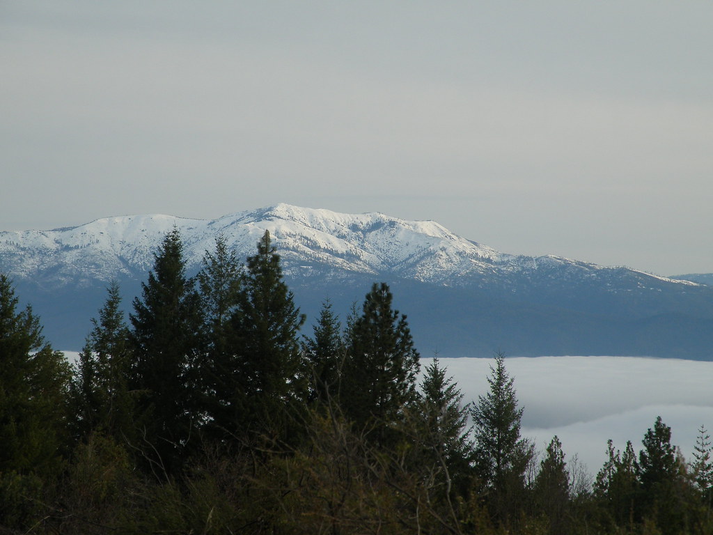
Anthony Peak (6900') is showing about 6 inches.
http://www.coveloweather.info/
And it's been snowing all day at 5382' on Weather Station Peak near Mendocino Pass.
http://mesowest.utah.edu/cgi-bin/droman ... ?stn=MASC1

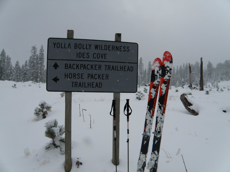
South Yolla Bolly is farther north and is 8094'.
TR's:
http://www.thebackcountry.net/bb/viewtopic.php?t=1773

Coast Range info:
http://www.earnyourturns.com/3878/ccsp- ... mendocino/

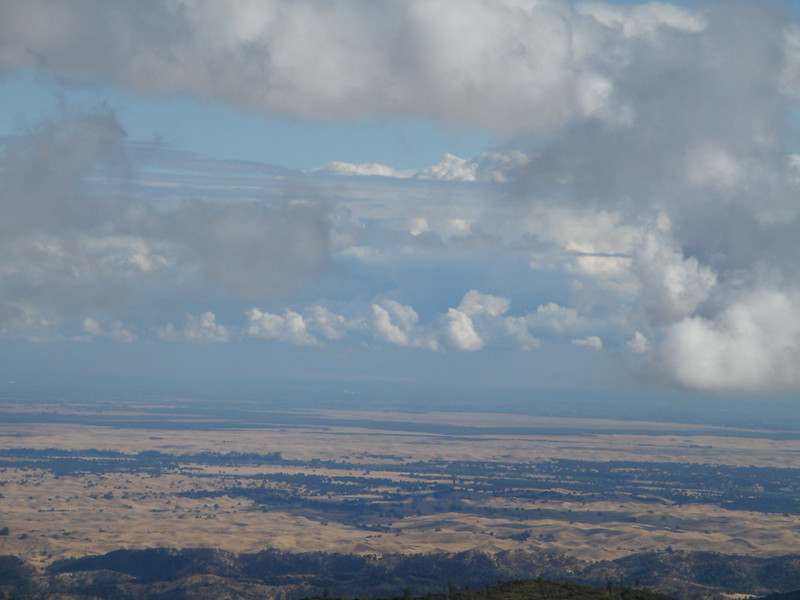
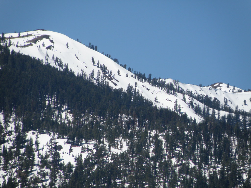
South Yolla Bolly, May 2011 - north face
Image

99 pictures of/from South Yolla Bolly
http://www.flickr.com/search/?w=1174439 ... la%20bolly

The gate closes on Dec. 1st...

Re: Coastal Crest Snow Patrol 2012/2013

PostPosted: Tue Oct 23, 2012 5:05 am
by Funyan005
Sweet! I just moved up to Humboldt county, and this stuff ain't too far away. I may have to check it out this winter

Re: Coastal Crest Snow Patrol 2012/2013

PostPosted: Thu Oct 25, 2012 6:55 pm
by jibmaster
Headed up to South Yolla Bolly yesterday.
Driving in on the A9 (Corning Rd.) towards Paskenta from Corning.

Image

This is the place to be this time of year. The gate closes Dec. 1st.
The gate is located at 4000' on Colyear Springs Rd.
Also known as Forest Route M22.
South Yolla Bolly is the tallest mountain in the Mendocino National Forest.
Standing 8094' tall, it'll have the goods before the rest of the forest.

The Sacramento Valley was foggy and the Coast Range was buried in clouds.
By the time I reached the gate, it started snowing.
Half a mile later, it started to stick. A few miles later, the road was fully covered in snow.
After almost two decades of skiing the Mendo. Nat'l Forest,
I have come to equate skiing with 4wheeling.
It just doesn't seem like a complete ski experience without dropping it into 4X4 and getting the Jeep all muddy.
:D

Drove about 8 miles past the gate to 5800'. It was DUMPING!
About 6 inches of snow on the ground here.
The snow was not consolidated.
However, the very wet snow in the Coast Range allowed me to ski over the road without sinking too low.
Just as I started skiing up the road, the sun made an appearance.

The next couple hours were sunny and snowing at the same time.
Very little wind.
I was using my Rossignol BC110's.
I was hoping to make an easy day of it, by gliding along on my scaled skis.
I skied up the road towards Bear Camp.
The first thing I noticed was the clumpage.
The unconsolidated snow was sticking to the bottom of my skis.
It was sticking to everything.
It would gather under my heel and ghost shift my heal piece to downhill mode.
As the snow got deeper, the amount of snow sticking to the bottom of my skis got heavier. At first, I was enjoying the extra effort.
It was a good work out.
But after awhile, I began to rethink my day trip plans.

I wasn't sure of the snow conditions sitting at my computer at home.
There appeared to be about two feet of snow at the top.
I knew that the new snow needed a nice freeze/thaw cycle to consolidate.
That's why I waited 'till Wed. to go up. But as I found out, the skies never cleared overnight enough to firm up the wet snow.

I made it to the main road above Bear Camp about an hour from the vehicle.
The road was perfect for skiing, as it's nice and smooth. I wasn't hitting any rocks. But my legs were killing me.
Having to lift up and forward 10-15 pounds of snow stuck to the bottom of my skis was starting to take it's toll.
I had a stick of purple wax that I used several times.
I would glide along for about 5 minutes before it wore off.
I didn't even try the skins. Figured that would be worse.

So I took a break at the upper road.
The road was fine for clumping up, but the road would soon end. And then it would be on to the summit ridge.
Tons of rocks. I didn't want to ruin my brand new scaled skis on the upper ridge and slopes with the unconsolidated, shallow snow.
Plus, if I continued on to the summit, I would be crippled for days, by the pain in my legs.
You know, that hinge at the top of your quads that takes the toll of clumping too much...

So, I decided to 'top out' at the open meadow. By the sign.
I continued on up the road. It was warming up now.
The trees that were loaded up with the wet snow, started branchalanching.
Loud WHOMPS thundered through the woods as the trees shed the weight. I could hear branches snapping. It was gorgeous!

Back on the main road
Image

Image

Image

Image

Image

After about two hours of clumping, I made it to the open meadow just below the TH.
Image


Luckily, the ski back was fast.
I was afraid I would have to clump my way back to the Jeep.
But the snow let me slide and glide on down the road.
Even out of my skin track in the fresh was fast.
By the time I got back, most of the snow by the Jeep had melted.
But I was able to stick to some shaded spots and made it back without having to take off my skis.

Nice and muddy for the drive back from all the melted snow.

Views of the Sacrament Valley on the way out.
Image

Image

Image

------------------------------------------

I didn't think it would snow this much.
South Yolla Bolly is a great place to ski.
But as with any mountain in the Mendocino National Forest, you gotta get there early in the day.
I decided too late on Tuesday to drive up the day before. So I opted for a day trip this time.
Left my house, here in the Napa Valley, on Wed. at 5am (too late).
Foggy conditions in Lake County made for slow driving.
It took me 5 hours to drive to 5800 on SYB. 4.5 hours on the way back.

9.5 hours of driving for a 3 hour ski tour. It was totally worth it!
:D
-----------------------------------------------
Just under 200 miles from my house - one way.
SYB is 2 hours from Corning.
15-20 minutes driving west on the A9 (Corning Rd.) from Corning.
Just before Paskenta, turn right onto Lowery Rd.
SMOOTH gravel road. Hulla fun to put it into 4x4 and drift the corners!
30 minutes of Lowrey brings you to Colyear Springs Rd.
Turn left.
This is an excellent road. Very smooth.
1.5 hours of Colyear and your at 5800'. This is where one can typically drive to this time of year.
Then it's about 5 miles to the summit.
You'll have better luck if you drive up the day before and car camp where you can skin/ski right from the vehicle.

This is the time of year to go to SYB (South Yolla Bolly)
The gate @ 4000' closes Dec. 1st.

Re: Coastal Crest Snow Patrol 2012/2013

PostPosted: Sun Nov 25, 2012 8:25 am
by jibmaster
Summited and skied South Yolla Bolly on Thanksgiving Day.
http://www.thebackcountry.net/bb/viewto ... f=2&t=1773

Re: Coastal Crest Snow Patrol 2012/2013

PostPosted: Sun Nov 25, 2012 9:49 pm
by LongLost
I'm guessing you must also ski the Snow Mtn area? Just about as high as SYB is, and a lot closer.

Re: Coastal Crest Snow Patrol 2012/2013

PostPosted: Sun Nov 25, 2012 10:14 pm
by jibmaster
Yup.
Snow Mt. is about 1000' shorter. But not necessarily closer. SYB is about 4.5 hours from my house, while Snow Mt. is about 4 hours.
Here's the Guide to skiing Mendo. Nat'l. Forest.
http://www.earnyourturns.com/3878/ccsp- ... mendocino/

Hoping this year will pan out better than last year for snow in the Coast Range.

Re: Coastal Crest Snow Patrol 2012/2013

PostPosted: Tue Jan 15, 2013 2:01 am
by jibmaster
So far on my month off work, we got some jib'in in.
Still working on my TR's...

SYB to Anthony, then the Jeep broke down.
Headed to Hull.

Lots to tell.

Here's a teaser.
http://www.youtube.com/watch?v=4ILZSFSE ... fA&index=1

Re: Coastal Crest Snow Patrol 2012/2013

PostPosted: Wed Jan 16, 2013 12:32 am
by jibmaster
I work every weekend throughout the year.
But I've got the month off.
So - cruise up to Hull this next weekend!
I'll be there Fri/Sat/Sun.

1. Drive to Upper Lake on the north side of Clear Lake.
2. Google your way to Lake Pillsbury by typing in
Upper Lake
Elk Mountain Road
Lake Pillsbury

3. Once at the lake, drive across the runway and
continue on. You will see a sign for Hull Mt.
Don't forget to stop and say 'Hi' to the elk.
You will be on road M1.
Take it to the top of the ridge.
The M1 goes up Boardman Ridge to the left.
We won't be there -
4. continue driving straight -
down the M6, into the Game Refuge.
5. You will cross a bridge -just after you will be drive up a hill.
6. At the top of the hill there is a road to the left.
There is a huge sign telling you about Penny Pines.
This is road 19N50
We will be up that road.

All roads are smooth and don't require 4wheel - it'll be dry this weekend.

Re: Coastal Crest Snow Patrol 2012/2013

PostPosted: Thu Jan 24, 2013 4:51 pm
by jibmaster