Re: Beautiful SHASTA Current Conditions
Good to know. I had it on my radar to head over there sometime next month. I was thinking about trying to get to Ash Creek Falls from the south. Are you heading back up this way this summer?
Climbing, hiking, mountaineering forum
http://www.summitpost.org/phpBB3/
https://www.summitpost.org/phpBB3/beautiful-shasta-current-conditions-t65450-15.html


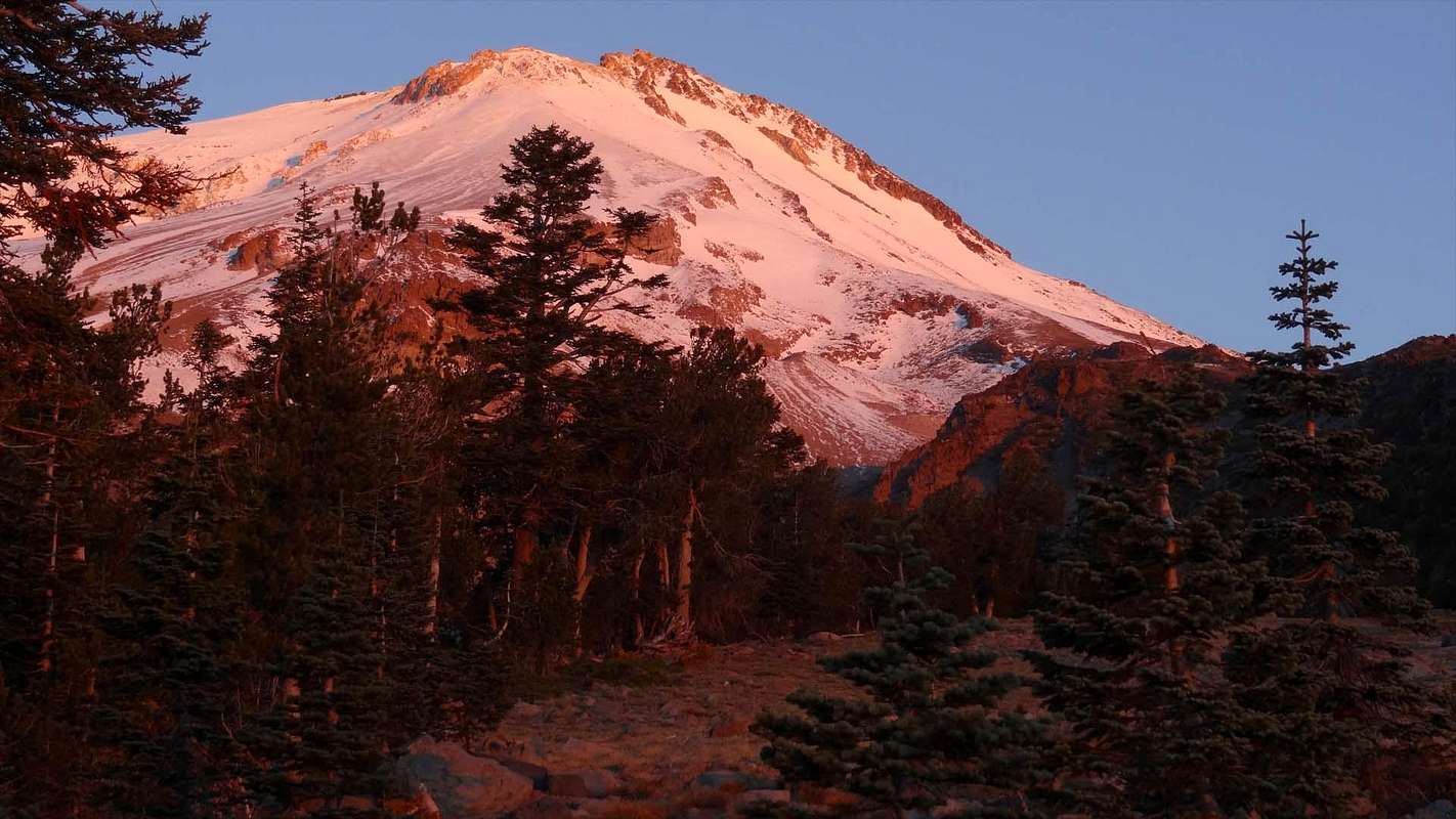
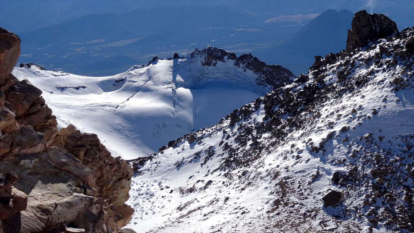
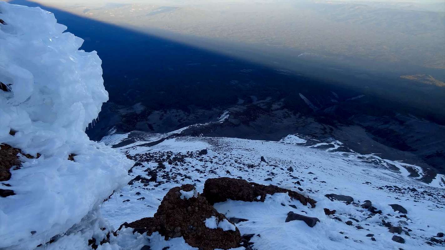
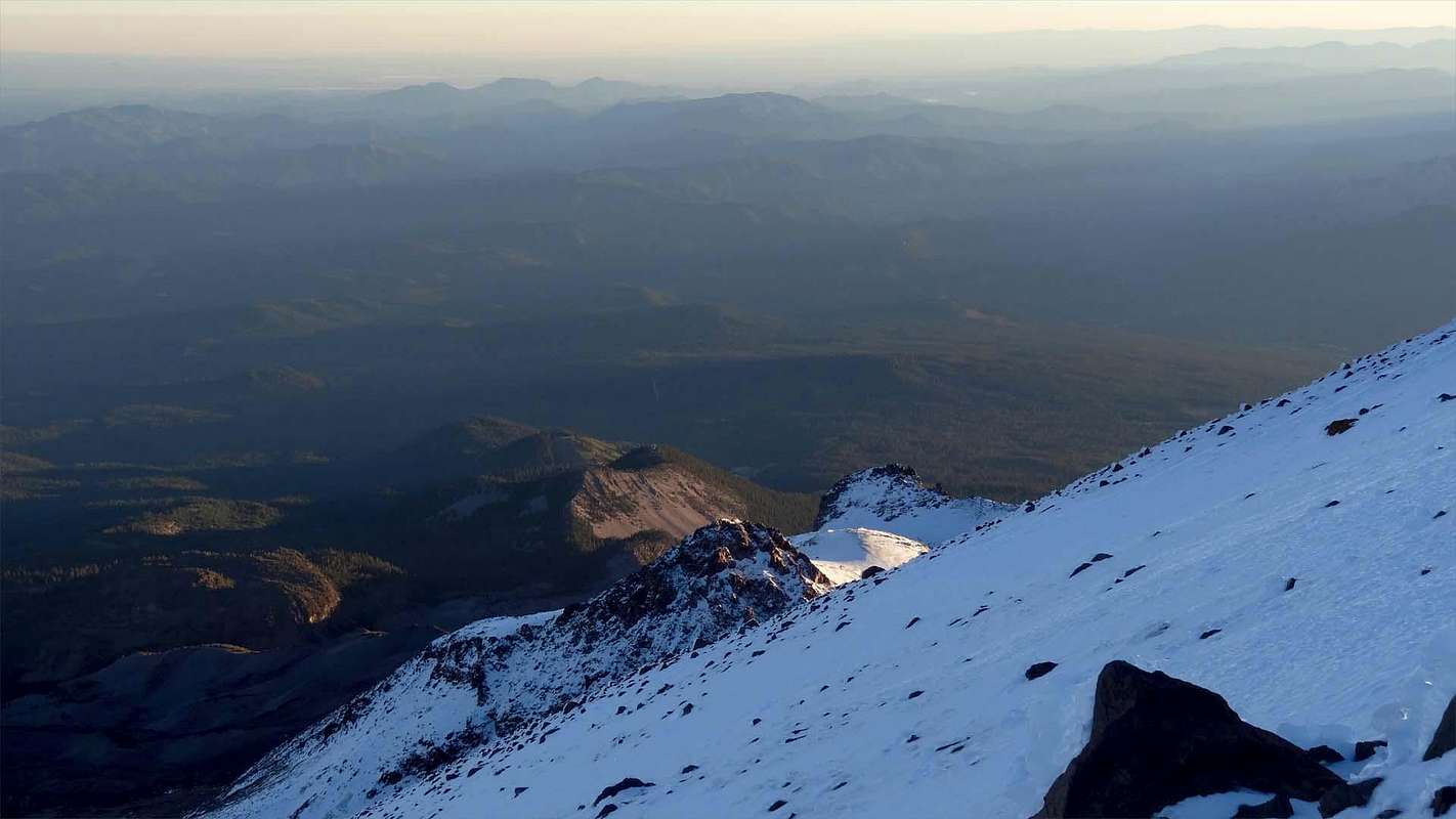
mrchad9 wrote:Last Saturday I headed off to Shasta again to give Clear Creek route a go...from the lowest trailhead...
clmbr wrote:mrchad9 wrote:Last Saturday I headed off to Shasta again to give Clear Creek route a go...from the lowest trailhead...
I don’t think this is an accurate statement; unless you meant Ian’s lowest TH.
mrchad9 wrote:clmbr wrote:mrchad9 wrote:Last Saturday I headed off to Shasta again to give Clear Creek route a go...from the lowest trailhead...
I don’t think this is an accurate statement; unless you meant Ian’s lowest TH.
It is the lowest of the popular trailheads. I suppose Whitney Falls TH is lower but that is not even a maintained one.
Lowest trailhead that has a pit toilet onsite. I think that works.
mrchad9 wrote:Are you Marco too?
Nice video! And you put your money where your mouth was... nice helmet!
So what happened to everyone else? Yeah I have discovered these cold fall/winter descents are not nearly so easy as the springtime conditions too!
So is this like 3 times up CC in the last 2 months?
And no product placement... LOL.