Page 1 of 1

PostPosted: Tue Aug 11, 2009 5:02 am
by nartreb
You "love Katahdin" but don't know which trails to take? Would this be one of those long-distance love affairs?

That and "intermediate level" - what does that mean?

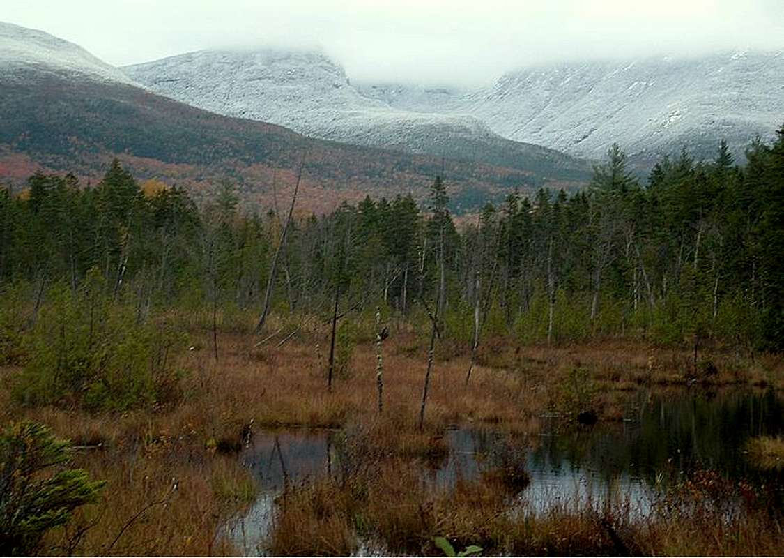
Start with a basic trail map - the MyTopoMap link on the Katahdin page on SP will do, or get a paper one (suggestions can be found on the park website). Then go to your favorite weather service and check the average weather for the nearest town (millinocket) in October - that'll give you some idea (subtract a bit of temperature and add a bit of wind for summit conditions).

All the trails are pretty steep and all of them have the same elevation gain, the main question is whether you're afraid of heights - if so, avoid the "knife edge" route.

Most trails described on the Katahdin page here on SP. Come to think of it, that page has a link to weather conditions too.

PS READ THE PARK WEBSITE. There are lots of rules to be aware of.

PostPosted: Tue Aug 11, 2009 2:58 pm
by injektilo
My wife and I have been at Daicey Pond in mid October for the last 4 years. Two of the four times it has snowed up high. On one occasion, the snowline was down to around 2,000 feet. Just something to consider.

Image

PostPosted: Tue Aug 11, 2009 3:23 pm
by rasgoat
Katahdin is great but it could feel like a winter trip at that time of year. Depends on the season. The only moderate trail on that mountain is the Saddle trail, all others involve some scrambling.

PostPosted: Tue Aug 11, 2009 9:27 pm
by EastcoastMike
injektilo wrote:My wife and I have been at Daicey Pond in mid October for the last 4 years. Two of the four times it has snowed up high. On one occasion, the snowline was down to around 2,000 feet. Just something to consider.

Image


Nice pic!

And the rangers there have a rather large stick up their asses about 'their' mountain. They act like hiking Katahdin in summer is like climbing Rainier in the winter. They have their own rather arbitrary rating system (1-3) for the weather. I guess they must get a lot of unprepared city folk and would rather scare them off than have to go looking for them after dark when they freak out and call 911.

PostPosted: Tue Aug 18, 2009 2:03 pm
by Bark Eater
Yeah, if there is visible snow on the summit, they generally close the mountain to "hiking" and won't let you go up without expedition gear. It's a gamble in early October...some years are open, some years not....

If you get up there and they close it consider one or more of the smaller nearby mountains...Brothers, OJI, Doubletop...all have great views.

PostPosted: Tue Aug 18, 2009 4:36 pm
by rasgoat
The Traveler Loop as well.

PostPosted: Mon Sep 28, 2009 8:52 pm
by birdhead
I will be hiking Katahdin on October 6th, as well. I am hoping the Helon Taylor/Knife Edge route will be open. If not, I will use the Saddle Trail as a back up. Has anyone been up on the mountain recently that knows conditions on the Knife Edge?

I noticed on the Baxter State Park website that Knife Edge was closed a couple of days ago due to ice, but that now it is open again. Forecast for Millinocket shows showers over the next week. Based on that, it seems that the likelihood of Knife Edge closing again soon is high. The rating system for the weather is hard to get a feel for. Most of the recent days have been designated class 2, which means the mountain is "open" but "not recommended for climbing." I was considering climbing with a class 2 designation and maybe with a class 3. Can anyone comment on their experience with this rating system??

I was planning to hit the Togue Pond gate at 6am (when it opens). I figure a on a Tuesday in early October there will be minimal traffic. Sound reasonable?