Page 1 of 2

PostPosted: Tue Jan 26, 2010 6:28 pm
by rpc
me 1st: you're on a southwest flight.
:)

PostPosted: Tue Jan 26, 2010 6:31 pm
by rpc
Dingus Milktoast wrote:Wrong west, Sir (hehe).

Northwest is hubbed in Minneapolis. Or should I say Delta?

Cheers
DMT

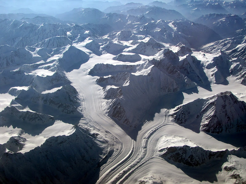
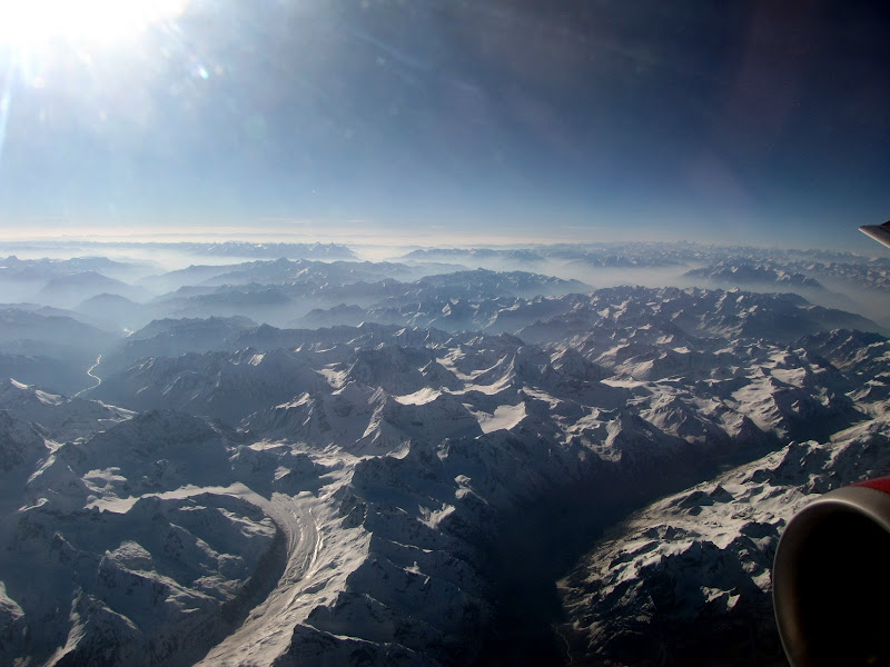
the blue color on the left engine threw me off :lol:

PostPosted: Tue Jan 26, 2010 6:32 pm
by Dave K
Sweet. I can identify several ranges in the top two photos.

BTW, our own bearbnz has several great shots he's taken over the Sierra.

http://www.summitpost.org/object_list.p ... or_id=2229

Okay:

Very top on the horizon is the Centennial range, dividing Montana and Idaho.

Prominent towards the top is the Teton range; just above its left side is the Big Hole Mountains.

PostPosted: Tue Jan 26, 2010 6:38 pm
by Franky
Well, that is pretty easy. Tetons obviously, and then some shots of what must be the very north end of the Winds, probably the headwaters of the green river. Then some nice shots of Various types of folds in the Wind River Basin

PostPosted: Tue Jan 26, 2010 6:59 pm
by Clydascope
Mount Tom 3/23/09

Image

PostPosted: Tue Jan 26, 2010 7:02 pm
by hamik
Image

Image

On the way to Leh from Delhi.

PostPosted: Tue Jan 26, 2010 8:03 pm
by musicman82
Great pictures DMT! I wished I had my camera on the plane in Oct. 2008 on a flight from Salt Lake City to home in Cody - it was a perfectly clear day and we crossed the Winds heading NE just north of the Gannett area, which was pretty amazing to see from that vantage...

PostPosted: Tue Jan 26, 2010 8:25 pm
by Doublecabin
I remember when the only commercial flights into JHOLE were on the world's most dangerous Commercial Aircraft, the Convair 580, and you had to go through Denver or SLC. Hit an airpocket over Union Pass and dropped a good deal in '74. Half the flight yakked. At 10 I decided to give up foods before getting on small aircraft.

Thanks for sharing that, gonna share this with family and friends.

PostPosted: Tue Jan 26, 2010 8:48 pm
by Big Benn
Looking at all those superb photos makes me think we need an SP photo page of the same name as this thread.

Unless we already have one?

PostPosted: Tue Jan 26, 2010 8:55 pm
by Gangolf Haub
Bryan Benn wrote:Looking at all those superb photos makes me think we need an SP photo page of the same name as this thread.

Unless we already have one?


http://www.summitpost.org/view_object.p ... _id=196785

PostPosted: Tue Jan 26, 2010 8:58 pm
by Gangolf Haub

PostPosted: Wed Jan 27, 2010 1:02 am
by McCannster
MikeTX wrote:i'm guessing the body of water in #4 and #5 is the palisades reservoir bordering ID and WY? but really i haven't got a clue. here's one of my own - en route to slc from denver. the view is to the south.
Image


This is the Eisenhower Tunnel vicinity. That's Loveland Ski Area that is the most visible, A Basin a little to the upper left from that, and a bit of Keystone under the wing. Torreys Peak/Grays are visible on the left. The vast expanse in the background is South Park.

PostPosted: Wed Jan 27, 2010 2:04 am
by Tonka
McCannster wrote:
MikeTX wrote:i'm guessing the body of water in #4 and #5 is the palisades reservoir bordering ID and WY? but really i haven't got a clue. here's one of my own - en route to slc from denver. the view is to the south.
Image


This is the Eisenhower Tunnel vicinity. That's Loveland Ski Area that is the most visible, A Basin a little to the upper left from that, and a bit of Keystone under the wing. Torreys Peak/Grays are visible on the left. The vast expanse in the background is South Park.


Funny! I just kinda scrolled through the pic ititially and didn't give it a very close look but you are right. I just happened to be on Sniktau last week. I would bet that whoever took this pic knew what area they were taking a pic of.

PostPosted: Wed Jan 27, 2010 3:17 am
by billisfree
I think I like this challenge! It took me awhile, but knowing the place is supposed to be in western Wyoming, the Green River Lakes finally gave me a clue.

Franky guessed right, the 4th and 5th picture is a view from near Garnet Pk, looking NWN down the Green River Valley.

Image

I can see we're over the Wind River Range.

Ugh.. Dave K and Franky beat me... it is the Grand Tetons in #1, #2, #3. Wow, they look a lot different from the air!

... I'll keep looking...