Page 2 of 5

PostPosted: Sat Jul 18, 2009 4:49 am
by lcarreau
I think you fried my wings, for crying out loud!

8)

PostPosted: Sat Jul 18, 2009 6:26 am
by Dan Shorb
fowweezer wrote:
d_shorb wrote:The grunge couloir has a rock section in it with a sizable moat now, in case anybody was wanting to do it. Still doable.


Man, that seems early to already be melting out so much.....guess it's been hot lately. Where is the rock section (up high, in the middle) and how hard was it? I'm not interested in going up there again, just curious mostly.


Middle basically.

PostPosted: Sun Jul 19, 2009 7:32 am
by marauders
Ridiculously fine photos of Timp. Can't believe the lake still has that much ice in late July!

bad day

PostPosted: Sun Jul 19, 2009 10:58 pm
by spengy
I went out yesterday and had all of my plans thoroughly foiled. My plan was to hike Lone Peak from the Orson Smith trailhead. I didn't know that the Orson Smith trailhead is closed! There are obviously people who have been disregarding this, as the barricades on the trail have been moved and there were several cars in the lot besides my own.

At first I thought the whole thing was a joke, so I hiked up the first five minutes of trail only to run into a more official-looking closure sign citing flood damage. Remembering the fire from last year, I can understand why there might be flood damage. Past this sign the cherry/bear canyon trail is pretty trashed, at least the 70 feet of it I could see. I didn't continue far past the second sign at the Bonneville Shoreline trail.

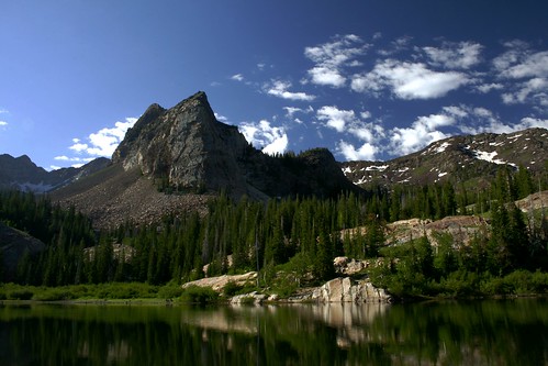
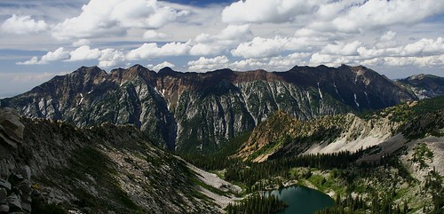
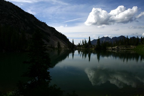
Not wanting my car to be towed or something for parking at the 'closed' trailhead, I opted to save Lone Peak for another day (and another trail - probably Jacob's Ladder). So I headed up Big Cottonwood hoping to do the scramble to the top of Sundial Peak. I got up to Lake Blanche and was working my way towards sundial when I became.... ill. (yeah) Decided to call it a day and head back down.

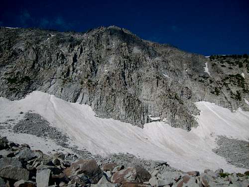
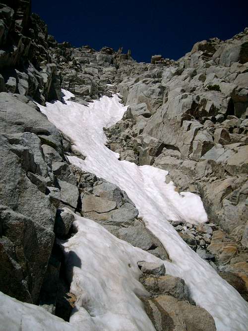
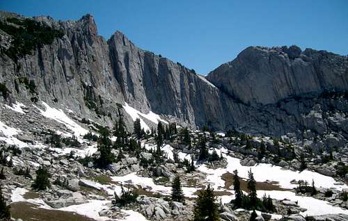
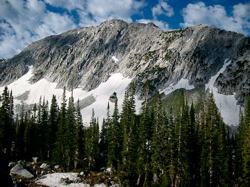
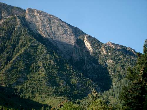
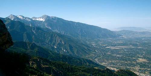
Snapped a few photos, so maybe the day wasn't completely wasted. Here is a sample

Image

Image

Image

PostPosted: Mon Jul 20, 2009 12:13 am
by Dan Shorb
Gorgeous photos of Timp Wasatchvoyage.

And Gorgeous photos of Sundial Spengy. That Trailhead fiasco sucks, looks like u woulda had an early start too. DAMN.

I love seeing all the amazing stuff people are doing on here. Its always refreshing.


Heres a few pics from Lone Peaks east side from a Bells/Jacobs ladder loop i did yesterday.
It wasn't a total loop, cuz i hitchhiked from big willow trailhead back to bells (anybody have an idea of how many miles i can say that is, cuz i have not a clue??.?):

Image
The couloir I went up is hidden up and right of the lefthand bushes/trees in this photo. You can see the 'goal post' lookin rocks both in the above and below photo to give some perspective.

Image

Image

Image

PostPosted: Mon Jul 20, 2009 9:46 pm
by Dan Shorb
Plenty of verbal one-upsmanship and banter on a lap of West Slabs this morning, Todd's first morning back from Bali.


From Oakview Dr. in Olympus cove:
Image


Todd low on the face
Image


Lone Peak view from the West Ridge
Image

PostPosted: Mon Jul 20, 2009 10:52 pm
by marauders
d_shorb wrote:Lone Peak view from the West Ridge
Image


The scenery shocks me every time. It is soooooo green this year.

PostPosted: Tue Jul 21, 2009 6:31 am
by climbingchic
Awesome shots guys!!! The pics are amazing!! and thanks for the info on Lone Peak. When I do it this year, I planned on taking the usual "ladder" route up but then coming down thru cherry canyon trail. I'm calling the forest service just to be sure of everything, not that the sign isn't believable; it's just that I was really looking forward to NOT coming down the ladder for once!

PostPosted: Tue Jul 21, 2009 7:45 pm
by Dan Shorb
marauders wrote:
The scenery shocks me every time. It is soooooo green this year.


Isn't it awesome!

PostPosted: Tue Jul 21, 2009 10:31 pm
by spengy
climbingchic wrote:Awesome shots guys!!! The pics are amazing!! and thanks for the info on Lone Peak. When I do it this year, I planned on taking the usual "ladder" route up but then coming down thru cherry canyon trail. I'm calling the forest service just to be sure of everything, not that the sign isn't believable; it's just that I was really looking forward to NOT coming down the ladder for once!


The other sign was more believable, but I didn't take a picture of that one. I'm not sure if the entire bear/cherry canyon trail is 'closed' or if it's just the Orson Smith trailhead - definitely a good idea to ask the forest service.

d_shorb wrote: That Trailhead fiasco sucks, looks like u woulda had an early start too. DAMN.

Yeah, I woke up at 4 AM!

PostPosted: Sat Jul 25, 2009 5:28 pm
by Matthew Van Horn
I think maybe those goats didn't mind you because they thought you were one of them, WV. I enjoy the photos, keep 'm coming.

PostPosted: Sun Jul 26, 2009 9:12 pm
by spengy
Hiked Pfeifferhorn yesterday afternoon. Despite the threat of some rain it was a lovely day, if a little warm at times. Red Pine Lake was looking wonderful. I had the summit to myself, with the exception of a few small furry creatures who have obviously been fed by people in the past.

Image
Image
Image
Image

PostPosted: Mon Jul 27, 2009 2:36 pm
by Gahugafuga
^^^ The couloir descending directly from the northernmost summit is the Cold Fusion couloir (see the North Timpanogos page for more details). To the looker's right is a Y-shaped couloir called the Forked Tongue. I skied the Cold Fusion last January and found it to be deceptively large in terms of length and width. The lower gully could be called a couloir although it's very low angle but the upper half is probably 100-150' wide and really more of a snowfield than a couloir. Still, it's one of the most impressive slide paths in the Wasatch.

PostPosted: Sat Aug 01, 2009 4:40 am
by lcarreau
AMAZING PICTURES!


In case you're interested, this is what the 'Red Pine Lakes' area looked like in 1976 :


Image

PostPosted: Mon Aug 03, 2009 11:37 pm
by vanman798
In case you're interested, this is what the 'Red Pine Lakes' area looked like in 1976 :


Dang, it was purple back in those days.