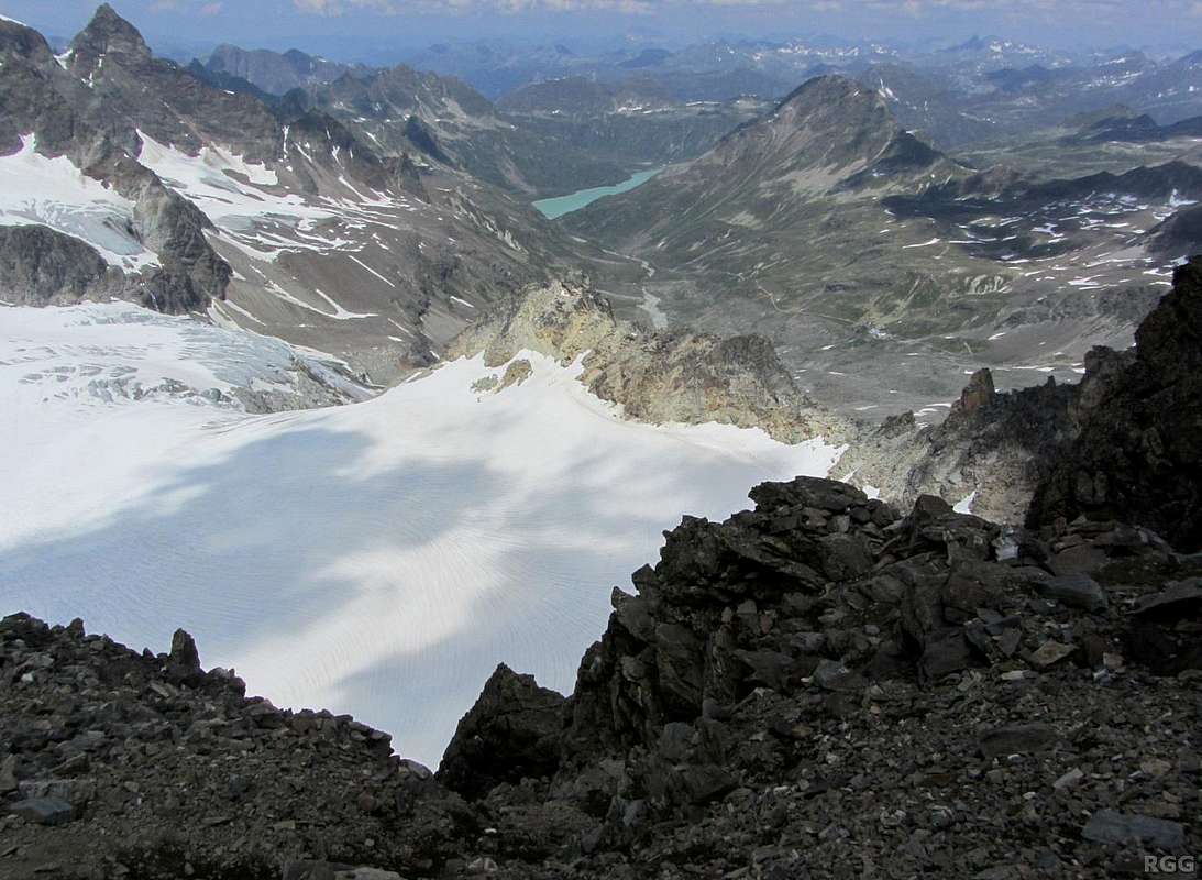
In the center is the Ochsental Glacier, leading down to the Ochsental valley and further down to the Silvretta Stausee, a big dammed lake.
The pointy summit on the far left is the Schattenspitze (3202m), the gentle shaped one on the right is Hohes Rad (2934m). It looks easy, but near the summit it's steeper than it appears from here. The normal route up is mostly hiking, with a few places where you have to use your hands, and it's on the other side. No ropes required though.
Still further away, just right of Hohes Rad, with the three snowy couloirs, is Vallüla (2813m). Only a few days ago I was up there, looking the other way:
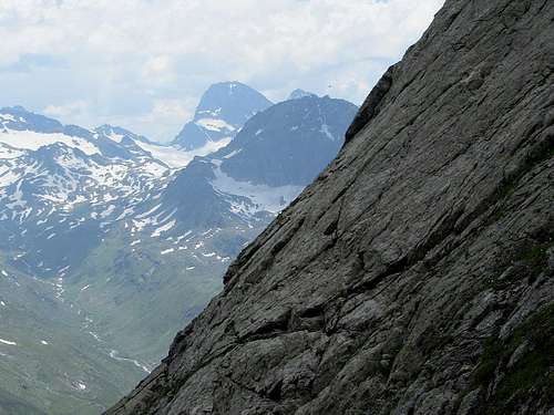 Hohes Rad (2934m) with Piz Buin (3312m) behind it, seen from high on Vallüla
For the record, climbing Piz Buin is easier than Vallüla, for which the normal route is UIAA grade II - but in contrast to Piz Buin, climbing Vallüla doesn't require crossing a glacier, making it a suitable for soloing if your climbing skills and confidence are up for it.
23 July 2013.


