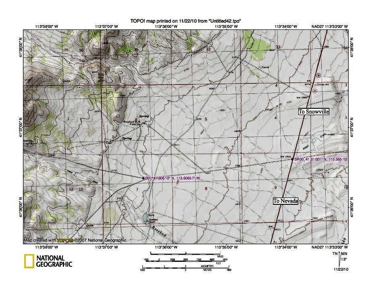
This map might help zero in on the turn off from SR30 as I've marked it with a GPS waypoint. (lat/long nad 27 41.6100 113.5651) Turn west onto the dirt road and follow it 11 miles to Ingram Pass. Although this map will not try to include all of the road you will travel on, it is important to note that at the first fork, you need to take the road heading right. That first right turn is marked as well at 41.6061 113.60657. The next map, will give some additional waypoints.


